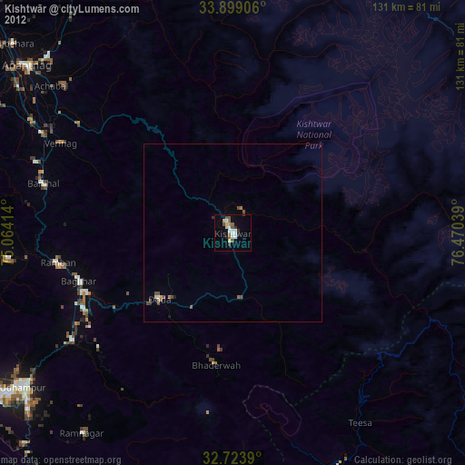
Kishtwār night lights from space
Night Light of Kishtwār (Jammu and Kashmir) from space (India) Src. Average luminocity for 10x10km area is 15.5227% and for 50x50km: 1.0017%.
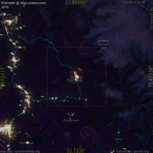
Analysis of Kishtwār night lights 2016
Square area 10x10 km:
 1.75%
1.75%90-99
1.75%80-89
0%70-79
3.5%60-69
0.87%50-59
3.85%40-49
4.55%30-39
1.57%20-29
2.45%10-19
2.97%0-9
76.75%Square area 50x50 km:
0.08%90-99
0.09%80-89
0%70-79
0.17%60-69
0.06%50-59
0.3%40-49
0.37%30-39
0.16%20-29
0.27%10-19
0.14%0-9
98.35%Clear (daylight) street map image can be seen on geolist.org.
Map coordinates:
33° 53' 56.6" North, 75° 3' 50.9" East
33° 18' 48.5" North, 75° 46' 2.1" East
32° 43' 26" North, 76° 28' 13.4" East
Some cities around Kishtwār sort by population:
• Udhampur
73 km =45.4 mi,  233°
233°
• Anantnag
73.4 km =45.6 mi,  309°
309°
• Doda
27.4 km =17 mi, 228°
• Kulgam
78.5 km =48.8 mi,  297°
297°
• Bhadarwāh
37.4 km =23.2 mi,  187°
187°
• Rāmnagar
70.5 km =43.8 mi,  217°
217°
• Rāmban
50.1 km =31.1 mi,  260°
260°
• Qāzigund
68.3 km =42.4 mi, 301°
1266475 (p: 20,553)
Sources (retrieved 2019-11-25):
» Earth at Night: Flat Maps 2012, 2016