Ādilābād night lights from space
Night Light of Ādilābād (Telangana) from space (India) Src. Average luminocity for 10x10km area is 45.6488% and for 50x50km: 3.7544%.
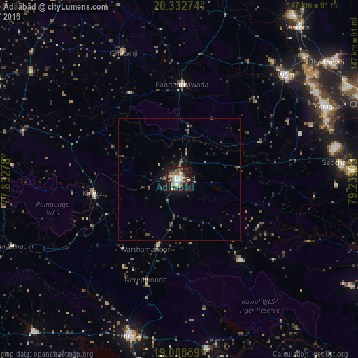
Analysis of Ādilābād night lights 2016
Square area 10x10 km:
 8.47%
8.47%90-99
10.95%80-89
2.89%70-79
2.48%60-69
8.88%50-59
9.09%40-49
5.99%30-39
5.17%20-29
9.3%10-19
33.06%0-9
3.72%Square area 50x50 km:
0.33%90-99
0.43%80-89
0.19%70-79
0.22%60-69
0.59%50-59
0.77%40-49
0.66%30-39
0.93%20-29
1.32%10-19
3.13%0-9
91.44%Clear (daylight) street map image can be seen on geolist.org.
Map coordinates:
20° 19' 57.9" North, 77° 49' 58" East
19° 40' 19.3" North, 78° 32' 9.2" East
19° 0' 30.9" North, 79° 14' 20.5" East
Some cities around Ādilābād sort by population:
• Nirmal
67 km =41.6 mi,  197°
197°
• Wani
61 km =37.9 mi,  45°
45°
• Kyathampalle
0.9 km =0.6 mi,  237°
237°
• Kinwat
35.7 km =22.2 mi,  261°
261°
• Chāndur
66.9 km =41.6 mi,  84°
84°
• Ghātanji
57.2 km =35.5 mi,  335°
335°
• Dasnapur
3.2 km =2 mi,  231°
231°
• Rājur
61.4 km =38.2 mi,  37°
37°
1279344 (p: 118,526)
Sources (retrieved 2019-11-25):
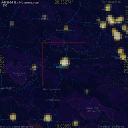
» NASA, Earths city lights 1995
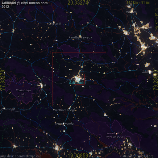
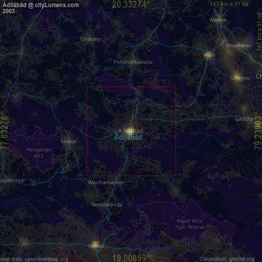
» NASA city lights 2003
» Earth at Night: Flat Maps 2012, 2016