Dasnapur night lights from space
Night Light of Dasnapur (Telangana) from space (India) Src. Average luminocity for 10x10km area is 40.5186% and for 50x50km: 3.8715%.
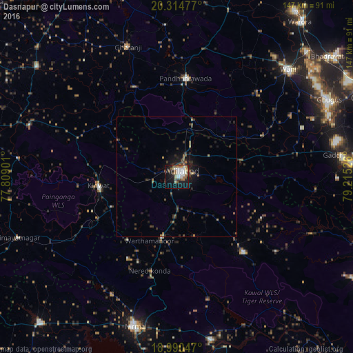
Analysis of Dasnapur night lights 2016
Square area 10x10 km:
 8.47%
8.47%90-99
10.95%80-89
2.07%70-79
2.48%60-69
6.82%50-59
8.47%40-49
2.07%30-39
2.89%20-29
7.02%10-19
30.37%0-9
18.39%Square area 50x50 km:
0.33%90-99
0.43%80-89
0.19%70-79
0.29%60-69
0.66%50-59
0.73%40-49
0.64%30-39
1.01%20-29
1.31%10-19
3.21%0-9
91.2%Clear (daylight) street map image can be seen on geolist.org.
Map coordinates:
20° 18' 53.2" North, 77° 48' 32.4" East
19° 39' 14.4" North, 78° 30' 43.7" East
18° 59' 25.7" North, 79° 12' 54.9" East
Some cities around Dasnapur sort by population:
• Ādilābād
3.2 km =2 mi,  51°
51°
• Nirmal
64.4 km =40 mi,  195°
195°
• Wani
64.2 km =39.9 mi, 45°
• Kyathampalle
2.3 km =1.4 mi, 48°
• Kinwat
33 km =20.5 mi,  264°
264°
• Chāndur
69.6 km =43.2 mi,  82°
82°
• Ghātanji
58.1 km =36.1 mi,  339°
339°
• Rājur
64.6 km =40.1 mi,  38°
38°
7302812 (p: 19,962)
Sources (retrieved 2019-11-25):
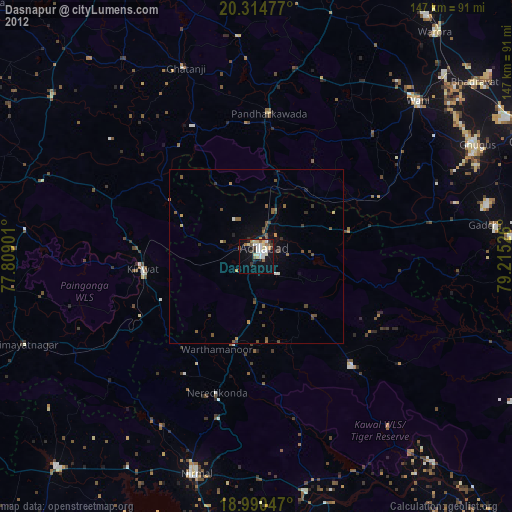
» Earth at Night: Flat Maps 2012, 2016