Kinwat night lights from space
Night Light of Kinwat (Maharashtra) from space (India) Src. Average luminocity for 10x10km area is 13.2851% and for 50x50km: 1.7536%.
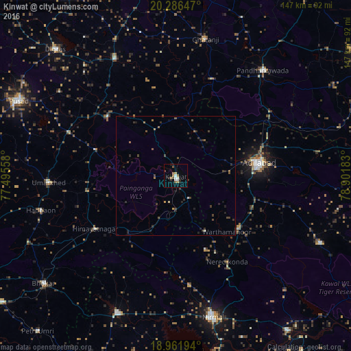
Analysis of Kinwat night lights 2016
Square area 10x10 km:
 1.45%
1.45%90-99
2.69%80-89
0.21%70-79
1.45%60-69
2.27%50-59
2.69%40-49
1.65%30-39
1.03%20-29
3.1%10-19
0.83%0-9
82.64%Square area 50x50 km:
0.08%90-99
0.15%80-89
0.05%70-79
0.16%60-69
0.35%50-59
0.25%40-49
0.45%30-39
0.53%20-29
0.84%10-19
0.45%0-9
96.7%Clear (daylight) street map image can be seen on geolist.org.
Map coordinates:
20° 17' 11.3" North, 77° 29' 44.1" East
19° 37' 32.1" North, 78° 11' 55.3" East
18° 57' 43" North, 78° 54' 6.6" East
Some cities around Kinwat sort by population:
• Ādilābād
35.7 km =22.2 mi,  81°
81°
• Nirmal
60.7 km =37.7 mi,  165°
165°
• Bhaisa
62.1 km =38.6 mi,  203°
203°
• Kyathampalle
34.9 km =21.7 mi, 82°
• Umarkhed
53.5 km =33.2 mi,  267°
267°
• Hadgāon
58.4 km =36.3 mi,  255°
255°
• Ghātanji
58.6 km =36.4 mi,  11°
11°
• Dasnapur
33 km =20.5 mi, 84°
1266518 (p: 25,956)
Sources (retrieved 2019-11-25):
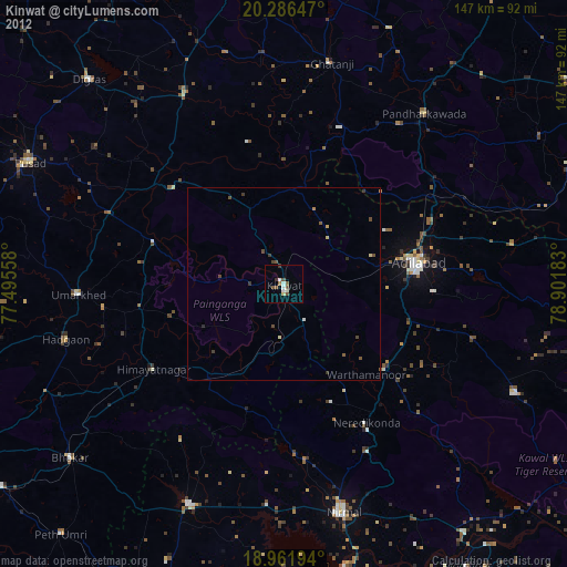
» Earth at Night: Flat Maps 2012, 2016