Sheikhpura night lights from space
Night Light of Sheikhpura (Bihar) from space (India) Src. Average luminocity for 10x10km area is 37.6723% and for 50x50km: 23.0662%.
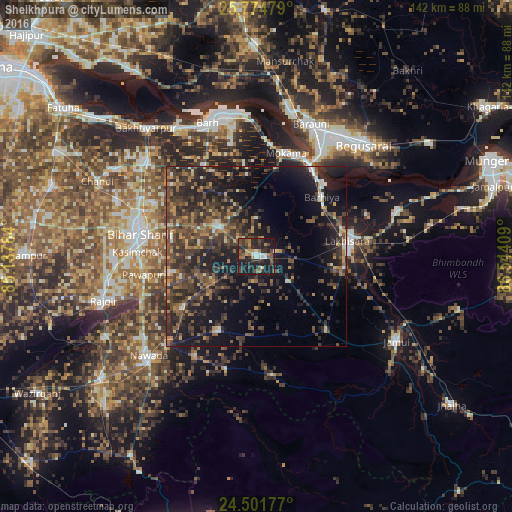
Analysis of Sheikhpura night lights 2016
Square area 10x10 km:
 3.79%
3.79%90-99
4.92%80-89
1.52%70-79
4.73%60-69
6.63%50-59
4.17%40-49
10.98%30-39
8.71%20-29
19.32%10-19
34.66%0-9
0.57%Square area 50x50 km:
1.09%90-99
1.52%80-89
1.67%70-79
2.37%60-69
3.37%50-59
4.48%40-49
7.05%30-39
8.9%20-29
11.62%10-19
18.68%0-9
39.26%Clear (daylight) street map image can be seen on geolist.org.
Map coordinates:
25° 46' 29.2" North, 85° 8' 16.2" East
25° 8' 23.8" North, 85° 50' 27.5" East
24° 30' 6.4" North, 86° 32' 38.7" East
Some cities around Sheikhpura sort by population:
• Bihār Sharīf
32.6 km =20.3 mi,  281°
281°
• Luckeesarai
25.9 km =16.1 mi,  80°
80°
• Bāruni
39.4 km =24.5 mi,  18°
18°
• Mokameh
29.7 km =18.5 mi, 15°
• Teghra
40.2 km =25 mi,  14°
14°
• Barhiya
24.5 km =15.2 mi,  47°
47°
• Bar Bigha
13.9 km =8.6 mi,  308°
308°
• Wāris Alīganj
24.4 km =15.2 mi,  235°
235°
1256698 (p: 46,718)
Sources (retrieved 2019-11-25):
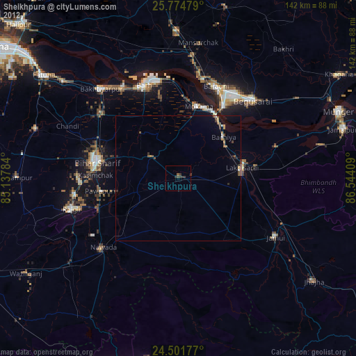
» Earth at Night: Flat Maps 2012, 2016