Nāngloi Jāt night lights from space
Night Light of Nāngloi Jāt (Delhi) from space (India) Src. Average luminocity for 10x10km area is 99.5568% and for 50x50km: 74.4282%.
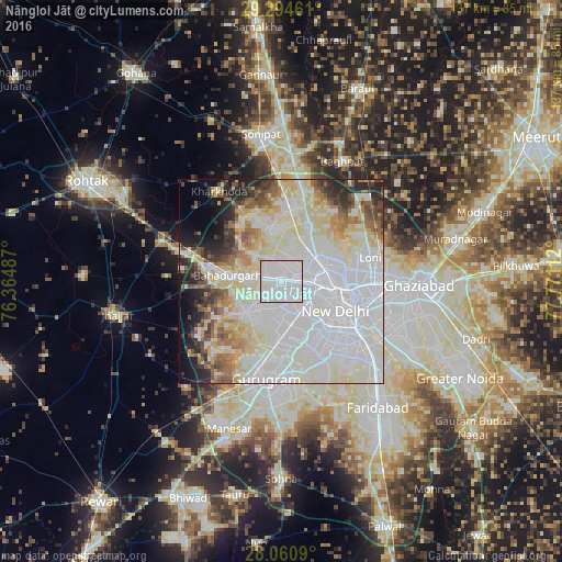
Analysis of Nāngloi Jāt night lights 2016
Square area 10x10 km:
 83.33%
90-99
15.91%80-89
0.76%70-79
0%60-69
0%50-59
0%40-49
0%30-39
0%20-29
0%10-19
0%0-9
0%Square area 50x50 km:
33.09%90-99
19.05%80-89
11.65%70-79
3.41%60-69
4.29%50-59
4.71%40-49
3.93%30-39
3.58%20-29
5.44%10-19
5.08%0-9
5.76%Clear (daylight) street map image can be seen on geolist.org.
Map coordinates:
29° 17' 40.6" North, 76° 21' 53.5" East
28° 40' 46.5" North, 77° 4' 4.8" East
28° 3' 39.2" North, 77° 46' 16" East
Some cities around Nāngloi Jāt sort by population:
• Delhi
16.2 km =10.1 mi,  100°
100°
• Najafgarh
11.6 km =7.2 mi,  227°
227°
• Rohini
7.1 km =4.4 mi,  359°
359°
• Karol Bāgh
12.4 km =7.7 mi, 104°
• New Delhi
16 km =9.9 mi,  107°
107°
• Bahādurgarh
13 km =8.1 mi,  276°
276°
• Bawāna
13.6 km =8.5 mi,  346°
346°
• Alīpur
14.7 km =9.1 mi,  25°
25°
1261913 (p: 194,363)
Sources (retrieved 2019-11-25):
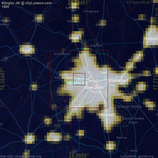
» NASA, Earths city lights 1995
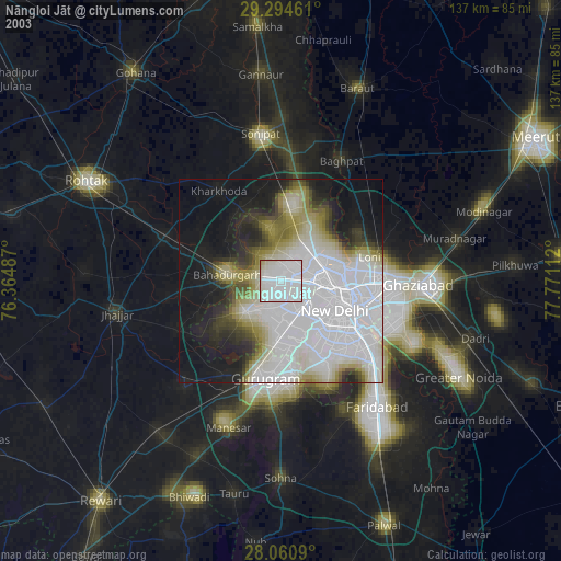
» NASA city lights 2003
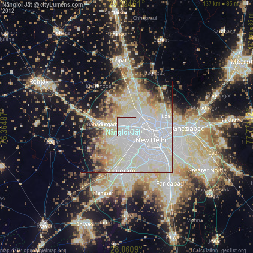
» Earth at Night: Flat Maps 2012, 2016