Karol Bāgh night lights from space
Night Light of Karol Bāgh (Delhi) from space (India) Src. Average luminocity for 10x10km area is 99.4223% and for 50x50km: 86.2865%.
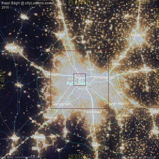
Analysis of Karol Bāgh night lights 2016
Square area 10x10 km:
 82.01%
90-99
17.99%80-89
0%70-79
0%60-69
0%50-59
0%40-49
0%30-39
0%20-29
0%10-19
0%0-9
0%Square area 50x50 km:
41.58%90-99
23.69%80-89
13.68%70-79
3.59%60-69
4.26%50-59
3.45%40-49
2.51%30-39
2.42%20-29
2.79%10-19
2.02%0-9
0%Clear (daylight) street map image can be seen on geolist.org.
Map coordinates:
29° 15' 59.7" North, 76° 29' 15.4" East
28° 39' 4.9" North, 77° 11' 26.6" East
28° 1' 57.1" North, 77° 53' 37.9" East
Some cities around Karol Bāgh sort by population:
• Delhi
4 km =2.5 mi,  89°
89°
• Rohini
15.8 km =9.8 mi,  310°
310°
• New Delhi
3.7 km =2.3 mi,  117°
117°
• Noida
15.7 km =9.8 mi, 120°
• Nāngloi Jāt
12.4 km =7.7 mi,  284°
284°
• Loni
14.8 km =9.2 mi,  41°
41°
• Deoli
17 km =10.6 mi,  166°
166°
• Alīpur
17.3 km =10.7 mi,  341°
341°
1267696 (p: 505,241)
Sources (retrieved 2019-11-25):
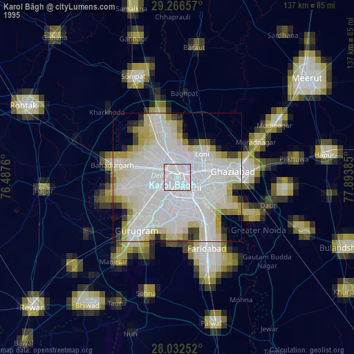
» NASA, Earths city lights 1995
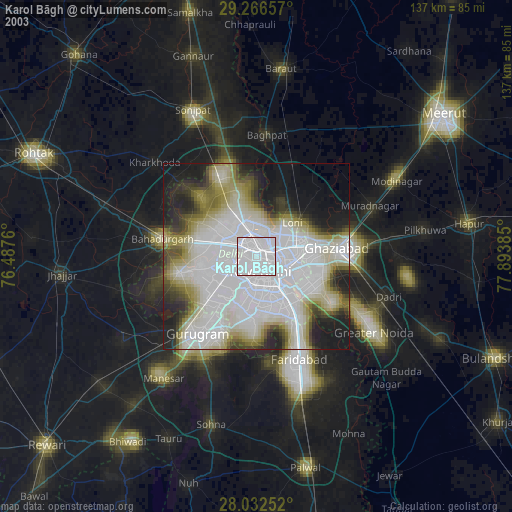
» NASA city lights 2003
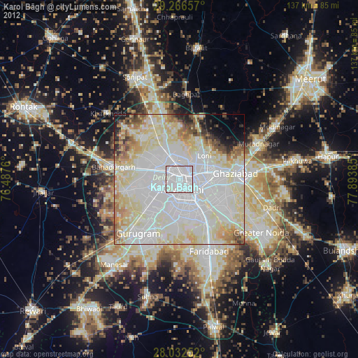
» Earth at Night: Flat Maps 2012, 2016