Muzaffarpur night lights from space
Night Light of Muzaffarpur (Bihar) from space (India) Src. Average luminocity for 10x10km area is 91.8611% and for 50x50km: 34.3098%.
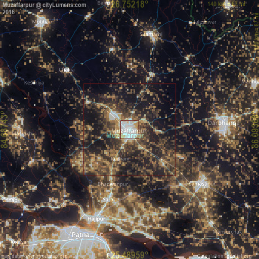
Analysis of Muzaffarpur night lights 2016
Square area 10x10 km:
 45.63%
90-99
28.57%80-89
6.15%70-79
10.52%60-69
5.95%50-59
1.98%40-49
1.19%30-39
0%20-29
0%10-19
0%0-9
0%Square area 50x50 km:
2.62%90-99
2.93%80-89
2.2%70-79
4.35%60-69
5.67%50-59
7.53%40-49
10.72%30-39
11.41%20-29
14.62%10-19
22.65%0-9
15.31%Clear (daylight) street map image can be seen on geolist.org.
Map coordinates:
26° 45' 7.8" North, 84° 41' 14.7" East
26° 7' 21.3" North, 85° 23' 26" East
25° 29' 22.5" North, 86° 5' 37.2" East
Some cities around Muzaffarpur sort by population:
• Darbhanga
50.7 km =31.5 mi,  86°
86°
• Samāstipur
48.5 km =30.1 mi,  126°
126°
• Lālganj
35.6 km =22.1 mi,  217°
217°
• Sheohar
44.6 km =27.7 mi,  347°
347°
• Belsand
35.7 km =22.2 mi,  1°
1°
• Chākia
47.3 km =29.4 mi,  313°
313°
• Dumra
51.1 km =31.8 mi,  14°
14°
• Pupri
49.7 km =30.9 mi,  38°
38°
1262330 (p: 333,200)
Sources (retrieved 2019-11-25):
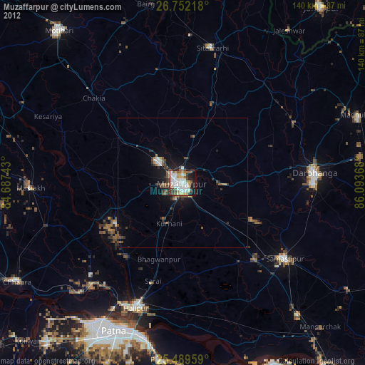
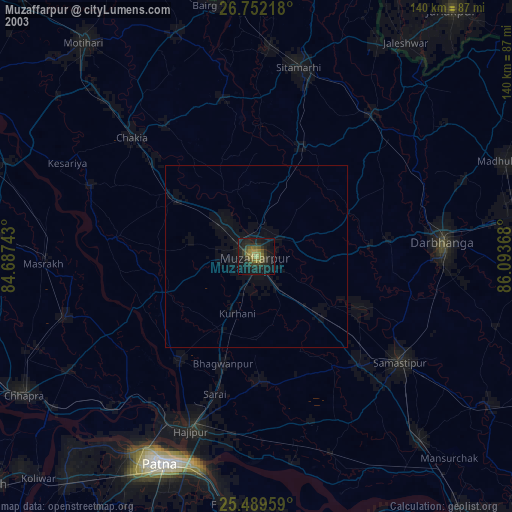
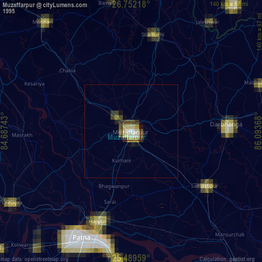
» NASA, Earths city lights 1995
» NASA city lights 2003
» Earth at Night: Flat Maps 2012, 2016