Lālganj night lights from space
Night Light of Lālganj (Bihar) from space (India) Src. Average luminocity for 10x10km area is 25.517% and for 50x50km: 38.9399%.
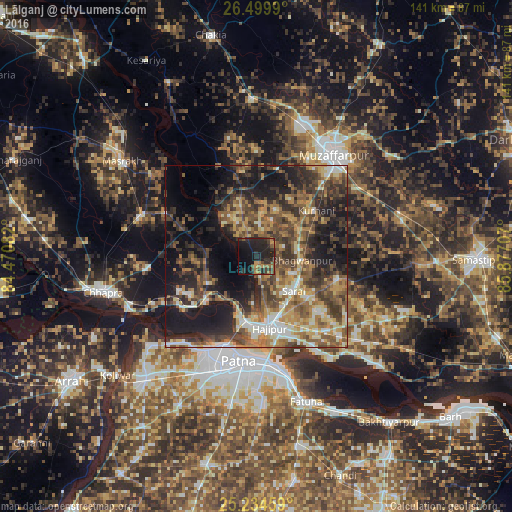
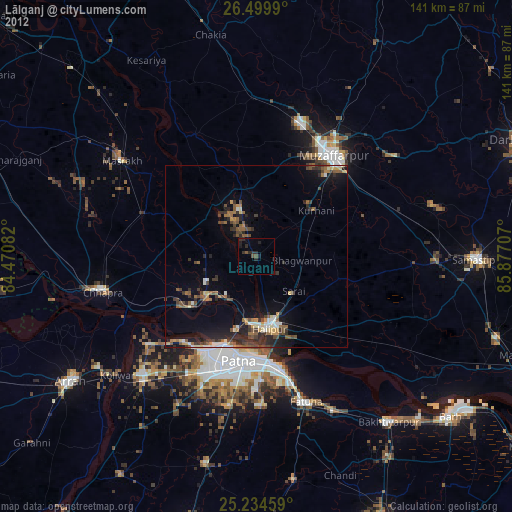
Analysis of Lālganj night lights 2016
Square area 10x10 km:
 0%
0%90-99
0%80-89
0%70-79
4.36%60-69
5.11%50-59
4.36%40-49
6.06%30-39
7.95%20-29
25.76%10-19
28.98%0-9
17.42%Square area 50x50 km:
2.99%90-99
5.28%80-89
4.16%70-79
6.28%60-69
6.93%50-59
8.34%40-49
9.48%30-39
9.31%20-29
11.56%10-19
20.16%0-9
15.51%Clear (daylight) street map image can be seen on geolist.org.
Map coordinates:
26° 29' 59.6" North, 84° 28' 15" East
25° 52' 8.2" North, 85° 10' 26.2" East
25° 14' 4.5" North, 85° 52' 37.5" East
Some cities around Lālganj sort by population:
• Patna
30.8 km =19.1 mi,  187°
187°
• Muzaffarpur
35.6 km =22.1 mi,  37°
37°
• Dinapore
28.7 km =17.8 mi,  206°
206°
• Hājīpur
20.7 km =12.9 mi,  170°
170°
• Khagaul
34.7 km =21.6 mi,  201°
201°
• Dighwāra
21.5 km =13.4 mi,  229°
229°
• Maner
39 km =24.2 mi, 230°
• Marhaura
32.7 km =20.3 mi,  290°
290°
1265170 (p: 31,879)
Sources (retrieved 2019-11-25):
» Earth at Night: Flat Maps 2012, 2016