Darbhanga night lights from space
Night Light of Darbhanga (Bihar) from space (India) Src. Average luminocity for 10x10km area is 80.2262% and for 50x50km: 27.4417%.
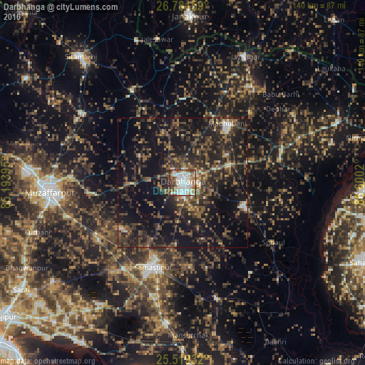
Analysis of Darbhanga night lights 2016
Square area 10x10 km:
 25.6%
25.6%90-99
28.37%80-89
6.15%70-79
4.76%60-69
12.3%50-59
7.34%40-49
9.72%30-39
5.36%20-29
0.4%10-19
0%0-9
0%Square area 50x50 km:
1.73%90-99
2.51%80-89
1.5%70-79
1.88%60-69
4.21%50-59
5.49%40-49
8.32%30-39
8.63%20-29
13.64%10-19
25.28%0-9
26.81%Clear (daylight) street map image can be seen on geolist.org.
Map coordinates:
26° 46' 53.7" North, 85° 11' 38.2" East
26° 9' 7.8" North, 85° 53' 49.5" East
25° 31' 9.6" North, 86° 36' 0.7" East
Some cities around Darbhanga sort by population:
• Muzaffarpur
50.7 km =31.5 mi,  266°
266°
• Madhubani
28.4 km =17.6 mi,  37°
37°
• Samāstipur
34.3 km =21.3 mi,  200°
200°
• Jhanjhārpur
40.2 km =25 mi,  71°
71°
• Rusera
46.2 km =28.7 mi,  163°
163°
• Dalsingh Sarai
54.2 km =33.7 mi,  186°
186°
• Jaynagar
54.3 km =33.7 mi,  26°
26°
• Pupri
40.4 km =25.1 mi,  331°
331°
1273491 (p: 287,150)
Sources (retrieved 2019-11-25):
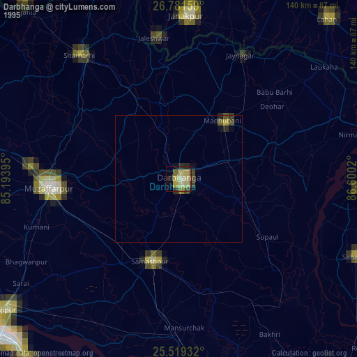
» NASA, Earths city lights 1995
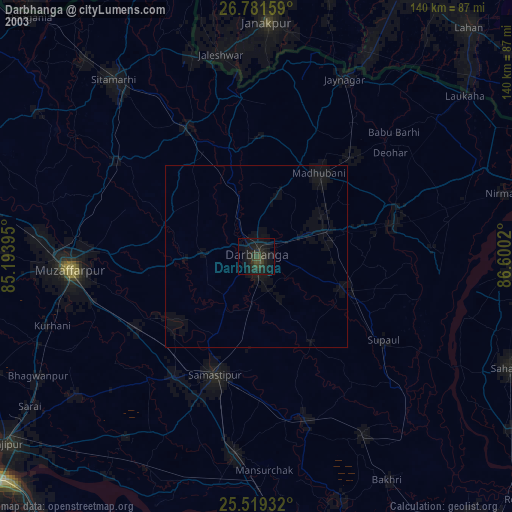
» NASA city lights 2003
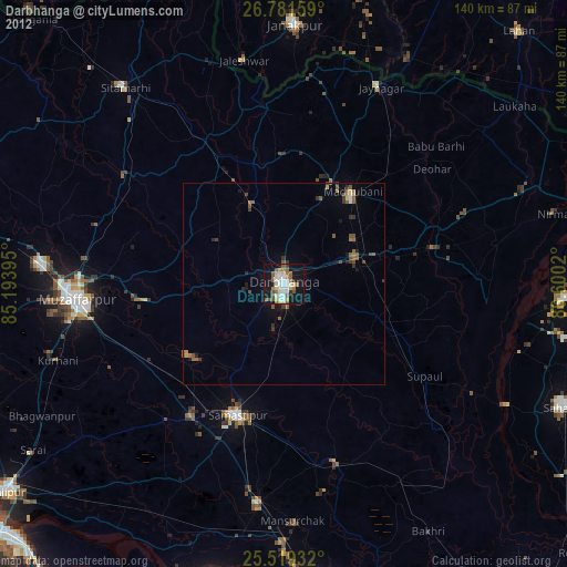
» Earth at Night: Flat Maps 2012, 2016