Gadag night lights from space
Night Light of Gadag (Karnataka) from space (India) Src. Average luminocity for 10x10km area is 52.5281% and for 50x50km: 5.2315%.
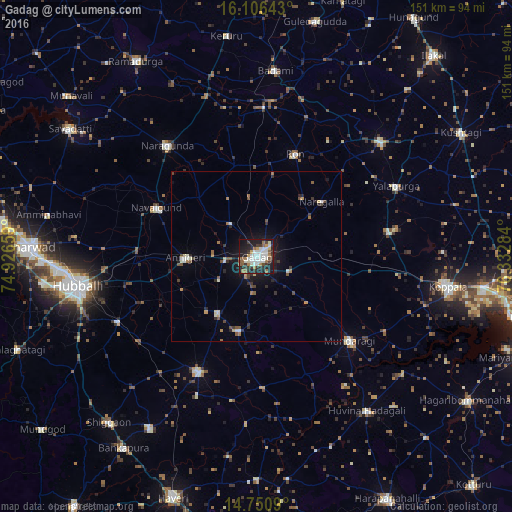
Analysis of Gadag night lights 2016
Square area 10x10 km:
 10.61%
90-99
17.32%80-89
1.95%70-79
3.68%60-69
8.66%50-59
6.71%40-49
1.73%30-39
12.34%20-29
14.94%10-19
20.35%0-9
1.73%Square area 50x50 km:
0.54%90-99
1.05%80-89
0.28%70-79
0.33%60-69
0.82%50-59
0.68%40-49
0.65%30-39
1.14%20-29
1.49%10-19
3.49%0-9
89.54%Clear (daylight) street map image can be seen on geolist.org.
Map coordinates:
16° 6' 23.1" North, 74° 55' 35.7" East
15° 25' 47.2" North, 75° 37' 47" East
14° 45' 3.2" North, 76° 19' 58.2" East
Some cities around Gadag sort by population:
• Lakshmeshwar
37.8 km =23.5 mi,  207°
207°
• Annigeri
21 km =13 mi,  268°
268°
• Navalgund
32.9 km =20.4 mi,  295°
295°
• Ron
32 km =19.9 mi,  20°
20°
• Mundargi
36.8 km =22.9 mi,  132°
132°
• Mulgund
20.2 km =12.6 mi,  215°
215°
• Naregal
24.9 km =15.5 mi,  50°
50°
• Shirhatti
22.5 km =14 mi,  193°
193°
1271850 (p: 162,569)
Sources (retrieved 2019-11-25):
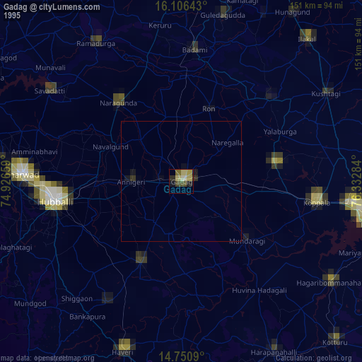
» NASA, Earths city lights 1995
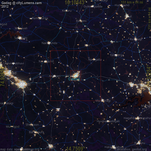
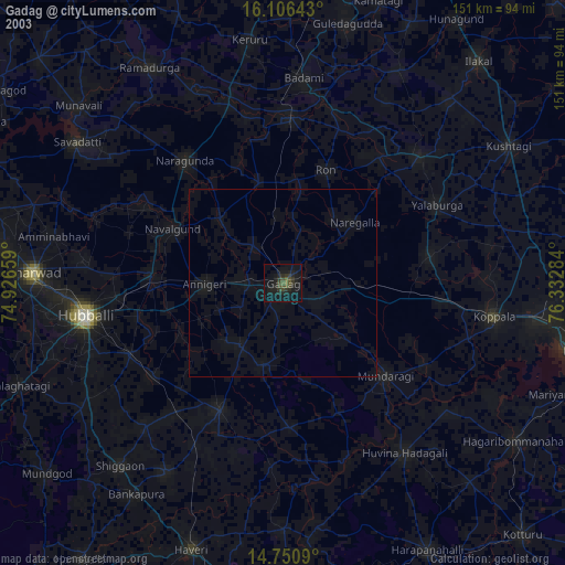
» NASA city lights 2003
» Earth at Night: Flat Maps 2012, 2016