Gadag-Betageri night lights from space
Night Light of Gadag-Betageri (Karnataka) from space (India) Src. Average luminocity for 10x10km area is 49.5022% and for 50x50km: 5.2175%.
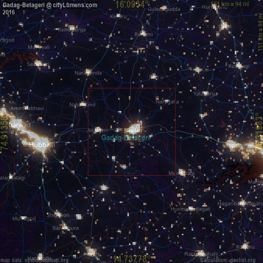
Analysis of Gadag-Betageri night lights 2016
Square area 10x10 km:
 10.61%
90-99
15.8%80-89
1.95%70-79
3.9%60-69
8.23%50-59
5.41%40-49
1.73%30-39
8.87%20-29
12.12%10-19
29.44%0-9
1.95%Square area 50x50 km:
0.54%90-99
1.05%80-89
0.28%70-79
0.33%60-69
0.8%50-59
0.68%40-49
0.6%30-39
1.14%20-29
1.49%10-19
3.54%0-9
89.55%Clear (daylight) street map image can be seen on geolist.org.
Map coordinates:
16° 5' 36.2" North, 74° 54' 48.9" East
15° 25' 0.1" North, 75° 37' 0.1" East
14° 44' 16" North, 76° 19' 11.4" East
Some cities around Gadag-Betageri sort by population:
• Lakshmeshwar
35.9 km =22.3 mi,  206°
206°
• Annigeri
19.7 km =12.2 mi,  272°
272°
• Navalgund
32.4 km =20.1 mi,  299°
299°
• Ron
33.8 km =21 mi,  21°
21°
• Mundargi
37 km =23 mi,  129°
129°
• Mulgund
18.3 km =11.4 mi, 214°
• Naregal
26.9 km =16.7 mi,  49°
49°
• Shirhatti
20.7 km =12.9 mi,  190°
190°
8740017 (p: 172,813)
Sources (retrieved 2019-11-25):
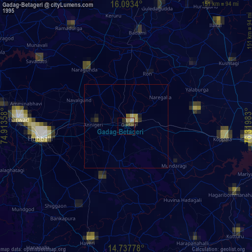
» NASA, Earths city lights 1995
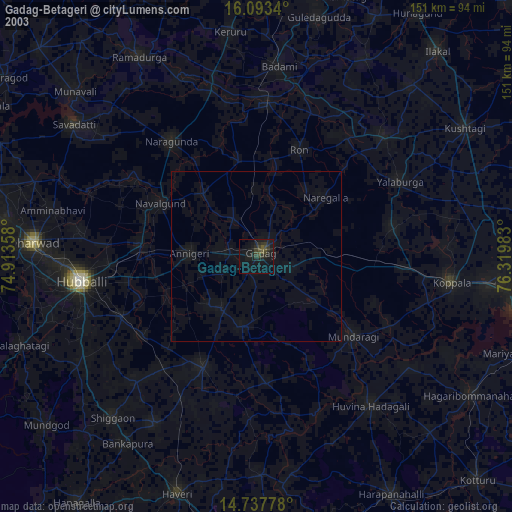
» NASA city lights 2003
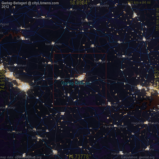
» Earth at Night: Flat Maps 2012, 2016