Dasūya night lights from space
Night Light of Dasūya (Punjab) from space (India) Src. Average luminocity for 10x10km area is 20.0678% and for 50x50km: 7.1096%.
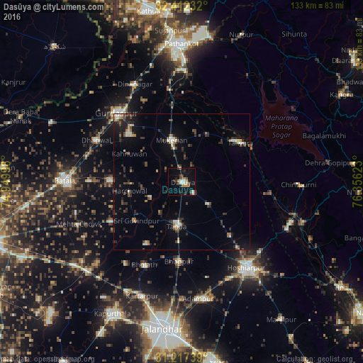
Analysis of Dasūya night lights 2016
Square area 10x10 km:
 2.01%
2.01%90-99
4.21%80-89
1.47%70-79
1.1%60-69
2.38%50-59
3.3%40-49
4.03%30-39
3.48%20-29
2.2%10-19
14.65%0-9
61.17%Square area 50x50 km:
0.42%90-99
1.12%80-89
0.44%70-79
0.45%60-69
0.7%50-59
0.93%40-49
1.57%30-39
1.74%20-29
2.3%10-19
3.43%0-9
86.88%Clear (daylight) street map image can be seen on geolist.org.
Map coordinates:
32° 24' 44.4" North, 74° 56' 59.9" East
31° 49' 0.4" North, 75° 39' 11.2" East
31° 13' 2.6" North, 76° 21' 22.4" East
Some cities around Dasūya sort by population:
• Talwāra
25.8 km =16 mi,  58°
58°
• Mukeriān
15.6 km =9.7 mi,  347°
347°
• Qādiān
26.1 km =16.2 mi,  271°
271°
• Bhogpur
29.2 km =18.1 mi,  181°
181°
• Begowāl
26 km =16.2 mi,  208°
208°
• Hariāna
26.8 km =16.7 mi,  138°
138°
• Garhdiwāla
12.8 km =8 mi,  130°
130°
• Hājipur
20.2 km =12.6 mi,  28°
28°
1273410 (p: 20,697)
Sources (retrieved 2019-11-25):
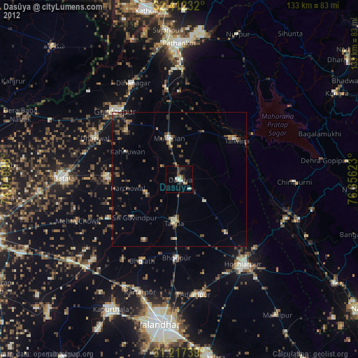
» Earth at Night: Flat Maps 2012, 2016