Morinda night lights from space
Night Light of Morinda (Punjab) from space (India) Src. Average luminocity for 10x10km area is 27.1171% and for 50x50km: 29.8769%.
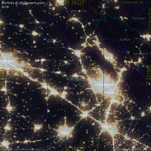
Analysis of Morinda night lights 2016
Square area 10x10 km:
 1.4%
1.4%90-99
2.45%80-89
0.87%70-79
3.85%60-69
2.45%50-59
4.72%40-49
10.14%30-39
7.17%20-29
13.81%10-19
28.5%0-9
24.65%Square area 50x50 km:
4.08%90-99
5.87%80-89
3.73%70-79
2.06%60-69
3.06%50-59
4.59%40-49
5.94%30-39
5.87%20-29
9.1%10-19
18.25%0-9
37.47%Clear (daylight) street map image can be seen on geolist.org.
Map coordinates:
31° 23' 32.1" North, 75° 47' 44.6" East
30° 47' 24.5" North, 76° 29' 55.8" East
30° 11' 3.2" North, 77° 12' 7.1" East
Some cities around Morinda sort by population:
• Chandigarh
28.3 km =17.6 mi,  102°
102°
• Mohali
24.6 km =15.3 mi,  119°
119°
• Khanna
28.1 km =17.5 mi,  250°
250°
• Sirhind
19.7 km =12.2 mi,  213°
213°
• Ropar
20.1 km =12.5 mi,  7°
7°
• Kharar
15 km =9.3 mi,  109°
109°
• Basi
14.7 km =9.1 mi,  219°
219°
• Khamānon Kalān
14.1 km =8.8 mi,  282°
282°
1262426 (p: 23,536)
Sources (retrieved 2019-11-25):
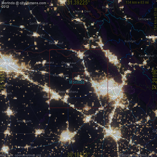
» Earth at Night: Flat Maps 2012, 2016