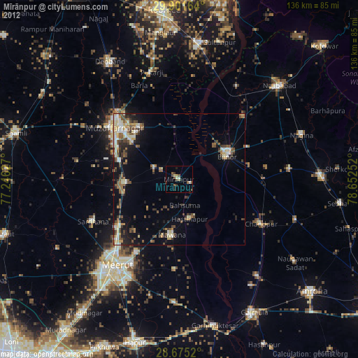
Mīrānpur night lights from space
Night Light of Mīrānpur (Uttar Pradesh) from space (India) Src. Average luminocity for 10x10km area is 20.2045% and for 50x50km: 27.2331%.
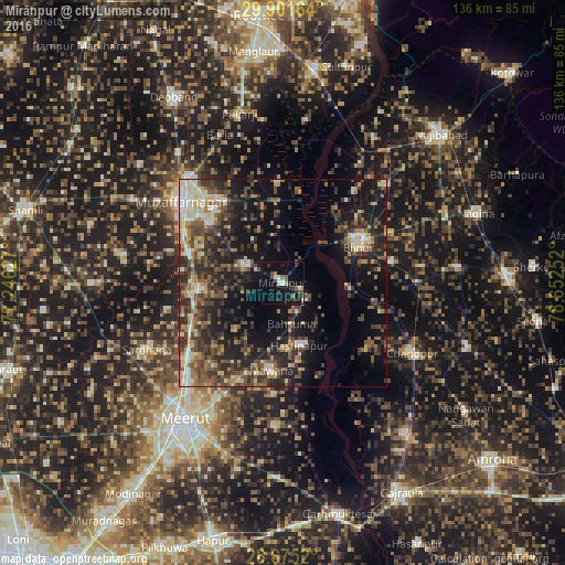
Analysis of Mīrānpur night lights 2016
Square area 10x10 km:
 1.33%
1.33%90-99
3.6%80-89
0.76%70-79
1.89%60-69
1.14%50-59
3.22%40-49
4.55%30-39
3.6%20-29
4.73%10-19
28.22%0-9
46.97%Square area 50x50 km:
1.71%90-99
3.58%80-89
3.75%70-79
2.96%60-69
3.64%50-59
4.6%40-49
7.22%30-39
6.91%20-29
10.02%10-19
18.69%0-9
36.92%Clear (daylight) street map image can be seen on geolist.org.
Map coordinates:
29° 54' 5.9" North, 77° 14' 46.6" East
29° 17' 24.9" North, 77° 56' 57.8" East
28° 40' 30.7" North, 78° 39' 9.1" East
Some cities around Mīrānpur sort by population:
• Bijnor
20.3 km =12.6 mi,  63°
63°
• Mawāna
21 km =13 mi,  187°
187°
• Khatauli
21 km =13 mi,  266°
266°
• Hastināpur
15.5 km =9.6 mi,  158°
158°
• Lāwar Khās
26 km =16.2 mi,  219°
219°
• Jānsath
10.3 km =6.4 mi,  291°
291°
• Phalauda
16.2 km =10.1 mi,  225°
225°
• Bahsūma
10.2 km =6.3 mi,  167°
167°
1263022 (p: 27,390)
Sources (retrieved 2019-11-25):
» Earth at Night: Flat Maps 2012, 2016