Phalauda night lights from space
Night Light of Phalauda (Uttar Pradesh) from space (India) Src. Average luminocity for 10x10km area is 23.8214% and for 50x50km: 34.0217%.
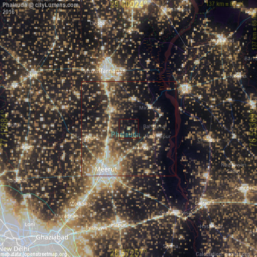
Analysis of Phalauda night lights 2016
Square area 10x10 km:
 0%
0%90-99
0%80-89
0.79%70-79
3.37%60-69
3.17%50-59
3.17%40-49
8.73%30-39
8.73%20-29
10.52%10-19
44.25%0-9
17.26%Square area 50x50 km:
2.04%90-99
5.03%80-89
5.22%70-79
3.77%60-69
4.84%50-59
6.64%40-49
8.95%30-39
8.57%20-29
11.32%10-19
19.17%0-9
24.46%Clear (daylight) street map image can be seen on geolist.org.
Map coordinates:
29° 48' 0.9" North, 77° 7' 36.6" East
29° 11' 17.7" North, 77° 49' 47.9" East
28° 34' 21.3" North, 78° 31' 59.1" East
Some cities around Phalauda sort by population:
• Mawāna
13 km =8.1 mi,  136°
136°
• Khatauli
13.7 km =8.5 mi,  316°
316°
• Mīrānpur
16.2 km =10.1 mi,  45°
45°
• Hastināpur
17.5 km =10.9 mi,  100°
100°
• Lāwar Khās
10 km =6.2 mi,  210°
210°
• Jānsath
15.3 km =9.5 mi,  7°
7°
• Bahsūma
13.9 km =8.6 mi,  84°
84°
• Daurāla
14.7 km =9.1 mi,  235°
235°
1259818 (p: 18,545)
Sources (retrieved 2019-11-25):
» Earth at Night: Flat Maps 2012, 2016