Bijnor night lights from space
Night Light of Bijnor (Uttar Pradesh) from space (India) Src. Average luminocity for 10x10km area is 46.1705% and for 50x50km: 19.236%.
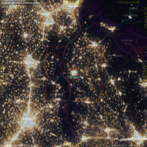
Analysis of Bijnor night lights 2016
Square area 10x10 km:
 2.08%
2.08%90-99
7.95%80-89
8.52%70-79
9.47%60-69
4.73%50-59
6.44%40-49
8.14%30-39
14.77%20-29
19.13%10-19
16.48%0-9
2.27%Square area 50x50 km:
0.43%90-99
1.19%80-89
1.17%70-79
1.99%60-69
2.8%50-59
3.5%40-49
5.54%30-39
5.29%20-29
7.8%10-19
27.68%0-9
42.6%Clear (daylight) street map image can be seen on geolist.org.
Map coordinates:
29° 59' 2" North, 77° 25' 59.7" East
29° 22' 22.8" North, 78° 8' 10.9" East
28° 45' 30.3" North, 78° 50' 22.2" East
Some cities around Bijnor sort by population:
• Kīratpur
16.3 km =10.1 mi,  24°
24°
• Nihtaur
24.9 km =15.5 mi,  102°
102°
• Mīrānpur
20.3 km =12.6 mi,  243°
243°
• Hastināpur
26.7 km =16.6 mi,  207°
207°
• Mandāwar
12.7 km =7.9 mi,  356°
356°
• Jhālu
9.6 km =6 mi,  115°
115°
• Haldaur
17.1 km =10.6 mi, 122°
• Bahsūma
24.9 km =15.5 mi,  219°
219°
1275679 (p: 84,593)
Sources (retrieved 2019-11-25):
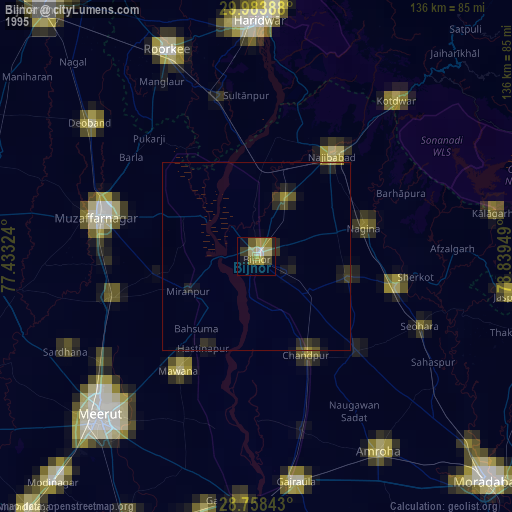
» NASA, Earths city lights 1995
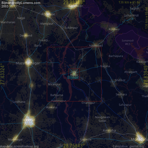
» NASA city lights 2003
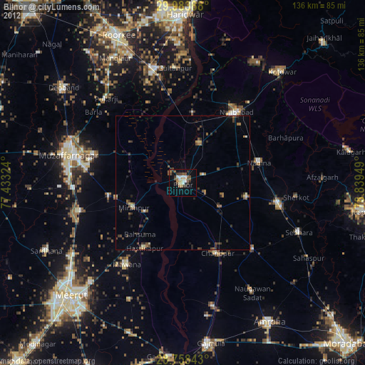
» Earth at Night: Flat Maps 2012, 2016