Khatauli night lights from space
Night Light of Khatauli (Uttar Pradesh) from space (India) Src. Average luminocity for 10x10km area is 48.2027% and for 50x50km: 35.3928%.
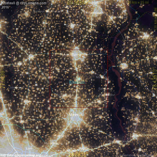
Analysis of Khatauli night lights 2016
Square area 10x10 km:
 1.52%
1.52%90-99
5.87%80-89
6.44%70-79
5.87%60-69
10.23%50-59
11.74%40-49
12.69%30-39
16.29%20-29
26.33%10-19
3.03%0-9
0%Square area 50x50 km:
1.99%90-99
4.27%80-89
4.55%70-79
3.8%60-69
5.2%50-59
6.44%40-49
10.27%30-39
9.3%20-29
15.06%10-19
25.43%0-9
13.68%Clear (daylight) street map image can be seen on geolist.org.
Map coordinates:
29° 53' 23.6" North, 77° 1' 47.6" East
29° 16' 42.4" North, 77° 43' 58.9" East
28° 39' 47.9" North, 78° 26' 10.1" East
Some cities around Khatauli sort by population:
• Muzaffarnagar
21.6 km =13.4 mi,  352°
352°
• Sardhana
18.7 km =11.6 mi,  217°
217°
• Mīrānpur
21 km =13 mi,  86°
86°
• Lāwar Khās
19.1 km =11.9 mi,  166°
166°
• Jānsath
12.5 km =7.8 mi,  65°
65°
• Shāhpur
19.3 km =12 mi,  294°
294°
• Phalauda
13.7 km =8.5 mi,  136°
136°
• Daurāla
18.6 km =11.6 mi,  188°
188°
1266849 (p: 64,731)
Sources (retrieved 2019-11-25):
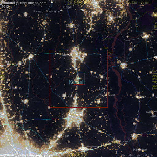
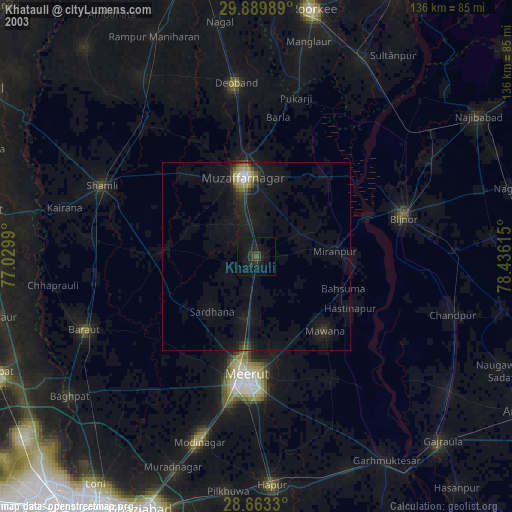
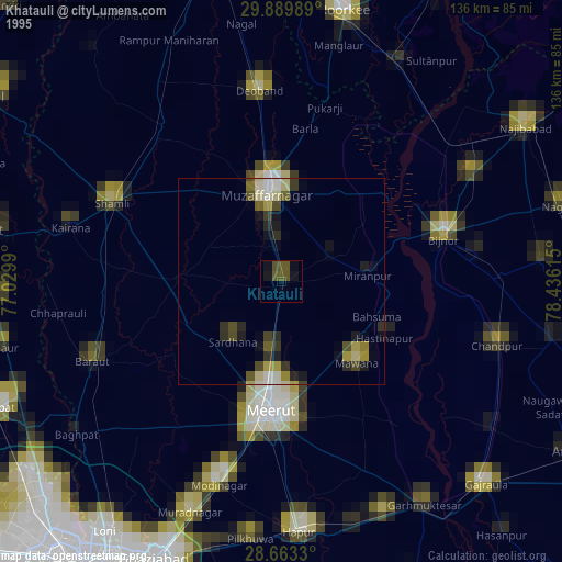
» NASA, Earths city lights 1995
» NASA city lights 2003
» Earth at Night: Flat Maps 2012, 2016