Medak night lights from space
Night Light of Medak (Telangana) from space (India) Src. Average luminocity for 10x10km area is 27.8701% and for 50x50km: 12.0424%.
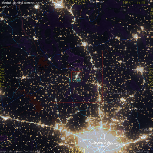
Analysis of Medak night lights 2016
Square area 10x10 km:
 1.3%
1.3%90-99
3.68%80-89
3.68%70-79
1.52%60-69
3.68%50-59
6.06%40-49
6.49%30-39
8.44%20-29
5.19%10-19
36.36%0-9
23.59%Square area 50x50 km:
0.22%90-99
0.8%80-89
0.71%70-79
1.1%60-69
1.67%50-59
2.71%40-49
3.1%30-39
3.73%20-29
3.66%10-19
8.59%0-9
73.69%Clear (daylight) street map image can be seen on geolist.org.
Map coordinates:
18° 42' 45.3" North, 77° 33' 27.6" East
18° 2' 43.1" North, 78° 15' 38.8" East
17° 22' 31.8" North, 78° 57' 50.1" East
Some cities around Medak sort by population:
• Kāmāreddi
31.7 km =19.7 mi,  15°
15°
• Sangāreddi
50.3 km =31.3 mi,  201°
201°
• Patancheru
56.9 km =35.4 mi,  179°
179°
• Sadāseopet
57.5 km =35.7 mi,  214°
214°
• Andol
32.2 km =20 mi,  217°
217°
• Bānswāda
54.6 km =33.9 mi,  312°
312°
• Chandūr
25.5 km =15.8 mi, 221°
• Nārsingi
17.4 km =10.8 mi,  90°
90°
1263230 (p: 44,351)
Sources (retrieved 2019-11-25):
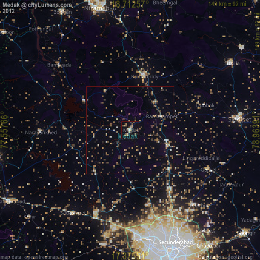
» Earth at Night: Flat Maps 2012, 2016