Patancheru night lights from space
Night Light of Patancheru (Telangana) from space (India) Src. Average luminocity for 10x10km area is 78.7479% and for 50x50km: 55.5338%.
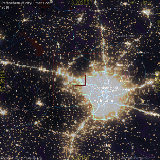
Analysis of Patancheru night lights 2016
Square area 10x10 km:
 20.04%
90-99
18.18%80-89
12.6%70-79
16.94%60-69
16.74%50-59
5.58%40-49
3.93%30-39
5.99%20-29
0%10-19
0%0-9
0%Square area 50x50 km:
22.93%90-99
9.11%80-89
4.64%70-79
5.43%60-69
6.34%50-59
5.73%40-49
5.6%30-39
4.9%20-29
7.79%10-19
11.85%0-9
15.68%Clear (daylight) street map image can be seen on geolist.org.
Map coordinates:
18° 12' 9.2" North, 77° 33' 41" East
17° 32' 0" North, 78° 15' 52.2" East
16° 51' 42" North, 78° 58' 3.5" East
Some cities around Patancheru sort by population:
• Hyderabad
26.3 km =16.3 mi,  129°
129°
• Kūkatpalli
16.7 km =10.4 mi,  108°
108°
• Quthbullapur
20.8 km =12.9 mi,  99°
99°
• Secunderabad
29.7 km =18.5 mi, 96°
• Serilingampalle
6 km =3.7 mi,  138°
138°
• Malkajgiri
29.4 km =18.3 mi, 108°
• Sangāreddi
21.4 km =13.3 mi,  298°
298°
• Singāpur
16.3 km =10.1 mi,  244°
244°
1260168 (p: 46,821)
Sources (retrieved 2019-11-25):
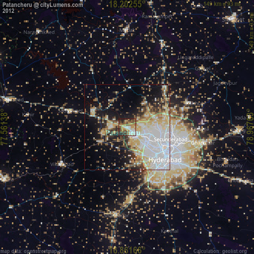
» Earth at Night: Flat Maps 2012, 2016