Mariāhu night lights from space
Night Light of Mariāhu (Uttar Pradesh) from space (India) Src. Average luminocity for 10x10km area is 28.4811% and for 50x50km: 20.6829%.
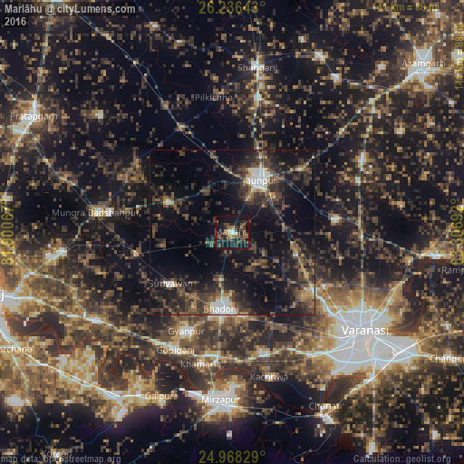
Analysis of Mariāhu night lights 2016
Square area 10x10 km:
 1.52%
1.52%90-99
1.89%80-89
1.52%70-79
1.89%60-69
3.03%50-59
8.9%40-49
9.66%30-39
6.82%20-29
12.88%10-19
38.64%0-9
13.26%Square area 50x50 km:
1.71%90-99
1.44%80-89
1%70-79
1.4%60-69
2.15%50-59
3.6%40-49
5.72%30-39
8.23%20-29
10.9%10-19
18.07%0-9
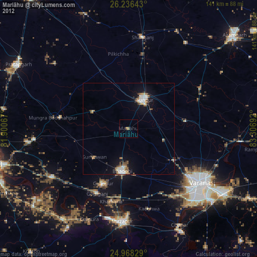
45.79%Clear (daylight) street map image can be seen on geolist.org.
Map coordinates:
26° 14' 11.1" North, 81° 54' 2.4" East
25° 36' 14.5" North, 82° 36' 13.6" East
24° 58' 5.8" North, 83° 18' 24.9" East
Some cities around Mariāhu sort by population:
• Jaunpur
18.6 km =11.6 mi,  26°
26°
• Bhadohi
23.5 km =14.6 mi,  188°
188°
• Machhlīshahr
21.3 km =13.2 mi,  295°
295°
• Suriānwān
24.2 km =15 mi,  229°
229°
• Kirākat
31.5 km =19.6 mi,  83°
83°
• Gyānpur
33.2 km =20.6 mi,  204°
204°
• Barāgaon
28.9 km =18 mi,  132°
132°
• Zafarābād
16.7 km =10.4 mi,  51°
51°
1263523 (p: 22,248)
Sources (retrieved 2019-11-25):
» Earth at Night: Flat Maps 2012, 2016