Jaunpur night lights from space
Night Light of Jaunpur (Uttar Pradesh) from space (India) Src. Average luminocity for 10x10km area is 65.7955% and for 50x50km: 17.386%.
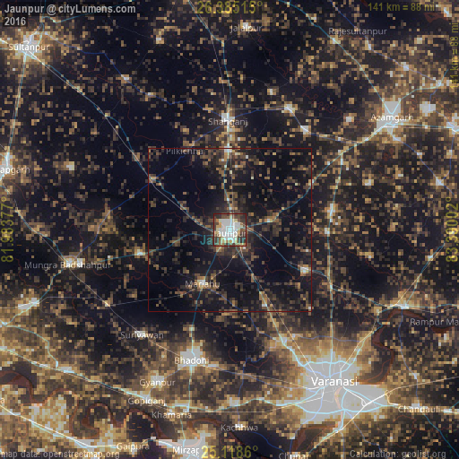
Analysis of Jaunpur night lights 2016
Square area 10x10 km:
 22.54%
90-99
11.36%80-89
7.95%70-79
5.68%60-69
5.87%50-59
6.63%40-49
12.69%30-39
15.91%20-29
10.61%10-19
0.76%0-9
0%Square area 50x50 km:
1.2%90-99
1%80-89
0.69%70-79
0.87%60-69
1.54%50-59
3.12%40-49
4.83%30-39
6.74%20-29
9.56%10-19
17.85%0-9
52.58%Clear (daylight) street map image can be seen on geolist.org.
Map coordinates:
26° 23' 6.5" North, 81° 59' 1.6" East
25° 45' 12.8" North, 82° 41' 12.8" East
25° 7' 7" North, 83° 23' 24.1" East
Some cities around Jaunpur sort by population:
• Shāhganj
32.9 km =20.4 mi,  359°
359°
• Machhlīshahr
28.6 km =17.8 mi,  254°
254°
• Mariāhu
18.6 km =11.6 mi,  206°
206°
• Sarāi Mīr
38.2 km =23.7 mi,  37°
37°
• Kirākat
26.3 km =16.3 mi,  119°
119°
• Barāgaon
38.3 km =23.8 mi,  160°
160°
• Zafarābād
7.7 km =4.8 mi,  142°
142°
• Phūlpur
40.7 km =25.3 mi,  27°
27°
1269135 (p: 169,572)
Sources (retrieved 2019-11-25):
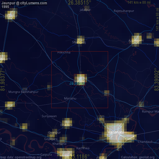
» NASA, Earths city lights 1995
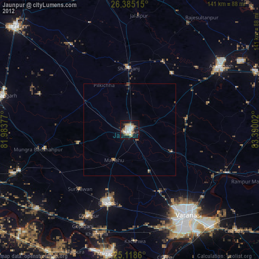
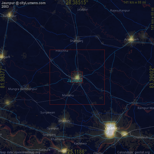
» NASA city lights 2003
» Earth at Night: Flat Maps 2012, 2016