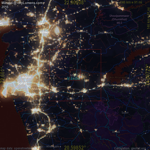
Māndvi night lights from space
Night Light of Māndvi (Gujarat) from space (India) Src. Average luminocity for 10x10km area is 17.9563% and for 50x50km: 11.3541%.
Analysis of Māndvi night lights 2016
Square area 10x10 km:
 1.19%
1.19%90-99
0.4%80-89
2.98%70-79
1.39%60-69
2.78%50-59
1.79%40-49
5.75%30-39
4.37%20-29
8.33%10-19
12.7%0-9
58.33%Square area 50x50 km:
0.23%90-99
1.27%80-89
1.18%70-79
1.19%60-69
1.26%50-59
2%40-49
2.35%30-39
2.93%20-29
4.04%10-19
10.65%0-9
72.9%Clear (daylight) street map image can be seen on geolist.org.
Map coordinates:
21° 54' 32.7" North, 72° 36' 3.6" East
21° 15' 18.9" North, 73° 18' 14.8" East
20° 35' 54.7" North, 74° 0' 26.1" East
Some cities around Māndvi sort by population:
• Bārdoli
24.8 km =15.4 mi,  233°
233°
• Vyāra
18.6 km =11.6 mi,  149°
149°
• Kosamba
42.5 km =26.4 mi,  302°
302°
• Songadh
28.5 km =17.7 mi,  109°
109°
• Kadod
9.7 km =6 mi,  244°
244°
• Kāthor
37.8 km =23.5 mi,  275°
275°
• Utrān
45.4 km =28.2 mi,  266°
266°
• Sachīn
47.6 km =29.6 mi,  246°
246°
1263826 (p: 18,669)
Sources (retrieved 2019-11-25):
» Earth at Night: Flat Maps 2012, 2016