Kosamba night lights from space
Night Light of Kosamba (Gujarat) from space (India) Src. Average luminocity for 10x10km area is 48.2443% and for 50x50km: 33.0229%.
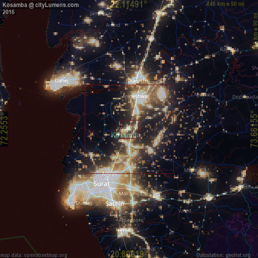
Analysis of Kosamba night lights 2016
Square area 10x10 km:
 0.76%
0.76%90-99
10.04%80-89
7.58%70-79
5.3%60-69
6.44%50-59
8.33%40-49
16.67%30-39
19.13%20-29
16.29%10-19
9.47%0-9
0%Square area 50x50 km:
1.75%90-99
5.95%80-89
5.54%70-79
3.78%60-69
5.6%50-59
6.66%40-49
6.36%30-39
7.56%20-29
10.63%10-19
15.52%0-9
30.64%Clear (daylight) street map image can be seen on geolist.org.
Map coordinates:
22° 6' 53.7" North, 72° 15' 19.1" East
21° 27' 43.3" North, 72° 57' 30.3" East
20° 48' 22.3" North, 73° 39' 41.6" East
Some cities around Kosamba sort by population:
• Sūrat
32.4 km =20.1 mi,  204°
204°
• Bharūch
26 km =16.2 mi,  5°
5°
• Ankleshwar
19.2 km =11.9 mi, 9°
• Amroli
26.5 km =16.5 mi,  207°
207°
• Kāthor
19.4 km =12.1 mi,  185°
185°
• Utrān
27.1 km =16.8 mi, 200°
• Olpād
25.6 km =15.9 mi,  236°
236°
• Hansot
20.7 km =12.9 mi,  311°
311°
1266087 (p: 33,221)
Sources (retrieved 2019-11-25):
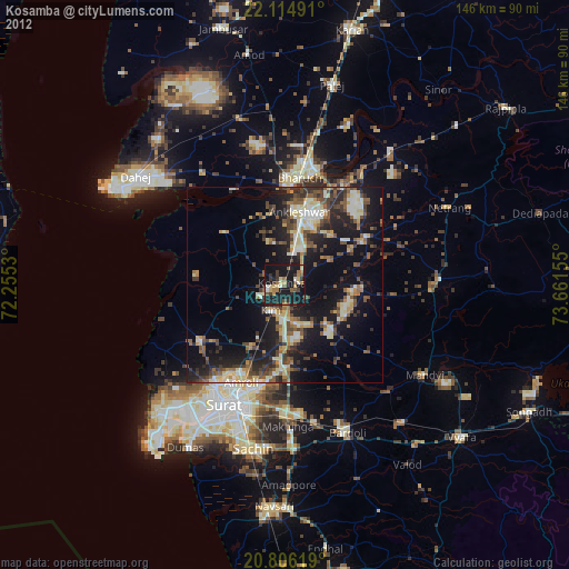
» Earth at Night: Flat Maps 2012, 2016