Mandlā night lights from space
Night Light of Mandlā (Madhya Pradesh) from space (India) Src. Average luminocity for 10x10km area is 31.2519% and for 50x50km: 2.5546%.

Analysis of Mandlā night lights 2016
Square area 10x10 km:
 5.87%
5.87%90-99
5.68%80-89
0.57%70-79
0%60-69
6.44%50-59
2.84%40-49
6.63%30-39
6.82%20-29
10.42%10-19
37.12%0-9
17.61%Square area 50x50 km:
0.25%90-99
0.26%80-89
0.03%70-79
0.08%60-69
0.31%50-59
0.35%40-49
0.57%30-39
1.04%20-29
1.08%10-19
2.28%0-9
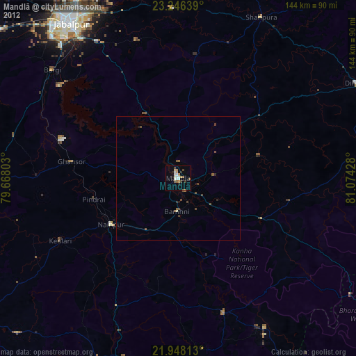
93.75%Clear (daylight) street map image can be seen on geolist.org.
Map coordinates:
23° 14' 47" North, 79° 40' 4.9" East
22° 35' 55.6" North, 80° 22' 16.1" East
21° 56' 53.3" North, 81° 4' 27.4" East
Some cities around Mandlā sort by population:
• Jabalpur
76.5 km =47.5 mi,  325°
325°
• Nainpur
33.1 km =20.6 mi,  235°
235°
• Bargi
67 km =41.6 mi,  310°
310°
• Baihar
58.3 km =36.2 mi,  161°
161°
• Lakhnādon
79.1 km =49.2 mi,  270°
270°
• Barela
64.4 km =40 mi, 329°
• Ukwā
70.5 km =43.8 mi,  172°
172°
• Ghansor
43.7 km =27.2 mi,  278°
278°
1263852 (p: 45,184)
Sources (retrieved 2019-11-25):
» Earth at Night: Flat Maps 2012, 2016