Gevrai night lights from space
Night Light of Gevrai (Maharashtra) from space (India) Src. Average luminocity for 10x10km area is 25.7576% and for 50x50km: 6.6847%.
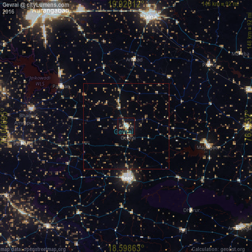
Analysis of Gevrai night lights 2016
Square area 10x10 km:
 1.95%
1.95%90-99
4.76%80-89
1.52%70-79
3.25%60-69
3.9%50-59
3.68%40-49
3.46%30-39
3.03%20-29
7.79%10-19
34.85%0-9
31.82%Square area 50x50 km:
0.14%90-99
0.43%80-89
0.46%70-79
0.87%60-69
0.81%50-59
1.46%40-49
1.72%30-39
1.75%20-29
1.72%10-19
3.38%0-9
87.26%Clear (daylight) street map image can be seen on geolist.org.
Map coordinates:
19° 55' 34" North, 75° 2' 49" East
19° 15' 49.4" North, 75° 45' 0.3" East
18° 35' 55.1" North, 76° 27' 11.5" East
Some cities around Gevrai sort by population:
• Mājalgaon
49.5 km =30.8 mi,  103°
103°
• Paithan
44.9 km =27.9 mi,  301°
301°
• Partūr
61.4 km =38.2 mi,  52°
52°
• Ambad
39.1 km =24.3 mi,  6°
6°
• Pāthardi
61.3 km =38.1 mi,  260°
260°
• Pīpri
63.1 km =39.2 mi,  339°
339°
• Dhārūr
62.1 km =38.6 mi,  142°
142°
• Ashti
51.4 km =31.9 mi,  75°
75°
1271413 (p: 30,406)
Sources (retrieved 2019-11-25):
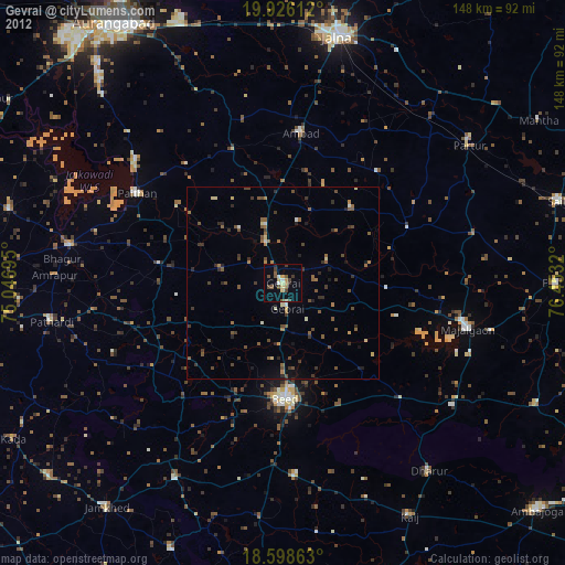
» Earth at Night: Flat Maps 2012, 2016