Kuchera night lights from space
Night Light of Kuchera (Rajasthan) from space (India) Src. Average luminocity for 10x10km area is 9.627% and for 50x50km: 3.0305%.
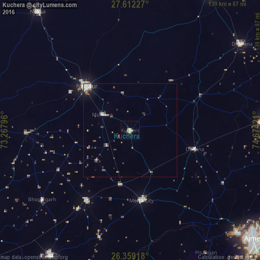
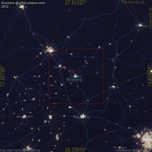
Analysis of Kuchera night lights 2016
Square area 10x10 km:
 0.4%
0.4%90-99
2.38%80-89
1.19%70-79
1.79%60-69
1.39%50-59
0.2%40-49
0.6%30-39
1.59%20-29
1.59%10-19
2.38%0-9
86.51%Square area 50x50 km:
0.24%90-99
0.68%80-89
0.21%70-79
0.32%60-69
0.35%50-59
0.39%40-49
0.65%30-39
0.74%20-29
0.42%10-19
0.97%0-9
95.03%Clear (daylight) street map image can be seen on geolist.org.
Map coordinates:
27° 36' 44.2" North, 73° 16' 4.7" East
26° 59' 14.9" North, 73° 58' 15.9" East
26° 21' 33" North, 74° 40' 27.2" East
Some cities around Kuchera sort by population:
• Nāgaur
33.5 km =20.8 mi,  315°
315°
• Makrāna
74.9 km =46.5 mi,  85°
85°
• Dīdwāna
75.4 km =46.9 mi,  52°
52°
• Merta
38.2 km =23.7 mi,  170°
170°
• Pīpār
79.4 km =49.3 mi,  212°
212°
• Basni
38.3 km =23.8 mi,  302°
302°
• Mūndwa
16.9 km =10.5 mi, 299°
• Parvatsar
79.6 km =49.5 mi,  98°
98°
1265821 (p: 21,796)
Sources (retrieved 2019-11-25):
» Earth at Night: Flat Maps 2012, 2016