Dīdwāna night lights from space
Night Light of Dīdwāna (Rajasthan) from space (India) Src. Average luminocity for 10x10km area is 17.358% and for 50x50km: 1.9107%.
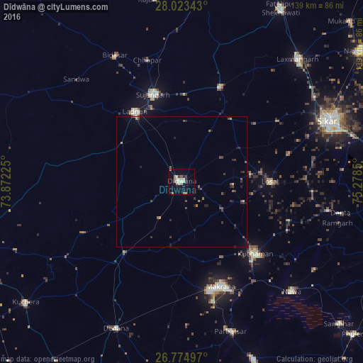
Analysis of Dīdwāna night lights 2016
Square area 10x10 km:
 1.14%
1.14%90-99
3.6%80-89
2.84%70-79
0.38%60-69
5.49%50-59
1.7%40-49
0%30-39
2.84%20-29
0.95%10-19
3.79%0-9
77.27%Square area 50x50 km:
0.06%90-99
0.14%80-89
0.17%70-79
0.17%60-69
0.37%50-59
0.33%40-49
0.36%30-39
0.52%20-29
0.43%10-19
0.76%0-9
96.67%Clear (daylight) street map image can be seen on geolist.org.
Map coordinates:
28° 1' 24.3" North, 73° 52' 20.1" East
27° 24' 3.5" North, 74° 34' 31.3" East
26° 46' 29.9" North, 75° 16' 42.6" East
Some cities around Dīdwāna sort by population:
• Sūjāngarh
34.9 km =21.7 mi,  342°
342°
• Makrāna
42.4 km =26.3 mi,  159°
159°
• Lādnūn
32.9 km =20.4 mi,  328°
328°
• Kuchāman
39.6 km =24.6 mi,  135°
135°
• Losal
33.7 km =20.9 mi,  90°
90°
• Chhāpar
48.4 km =30.1 mi, 343°
• Meethari Marwar
22.4 km =13.9 mi,  29°
29°
• Bhuma
55.2 km =34.3 mi,  39°
39°
1272640 (p: 49,852)
Sources (retrieved 2019-11-25):
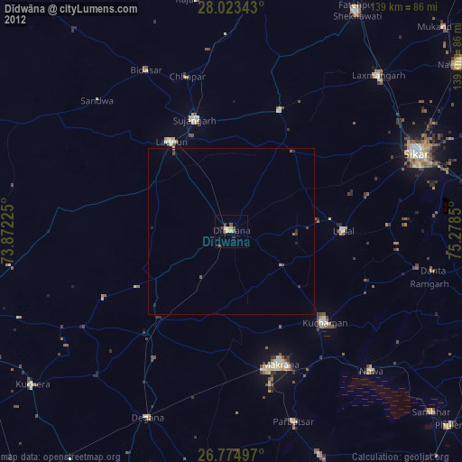
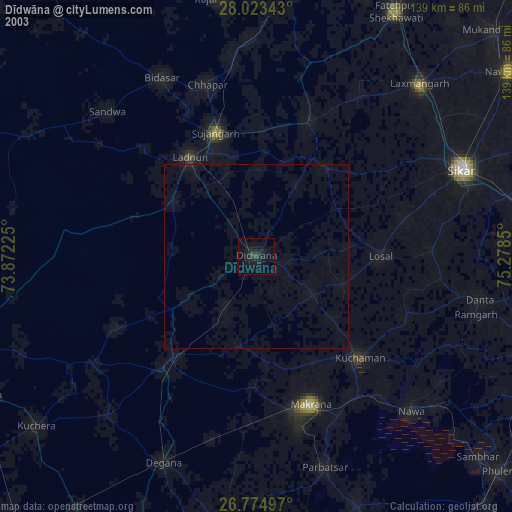
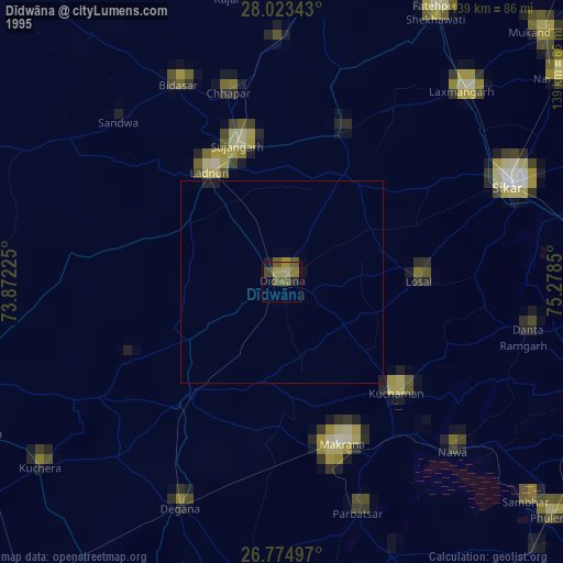
» NASA, Earths city lights 1995
» NASA city lights 2003
» Earth at Night: Flat Maps 2012, 2016