Kuchāman night lights from space
Night Light of Kuchāman (Rajasthan) from space (India) Src. Average luminocity for 10x10km area is 26.1591% and for 50x50km: 6.4944%.
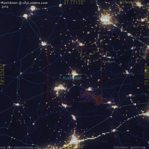
Analysis of Kuchāman night lights 2016
Square area 10x10 km:
 0.38%
0.38%90-99
2.46%80-89
9.47%70-79
2.08%60-69
2.46%50-59
3.41%40-49
5.87%30-39
2.84%20-29
3.41%10-19
26.14%0-9
41.48%Square area 50x50 km:
0.32%90-99
0.79%80-89
1.1%70-79
0.26%60-69
0.58%50-59
0.96%40-49
1.33%30-39
1.28%20-29
2.13%10-19
5.46%0-9
85.78%Clear (daylight) street map image can be seen on geolist.org.
Map coordinates:
27° 46' 16.9" North, 74° 9' 12.3" East
27° 8' 50.8" North, 74° 51' 23.6" East
26° 31' 12.1" North, 75° 33' 34.8" East
Some cities around Kuchāman sort by population:
• Makrāna
17.4 km =10.8 mi,  228°
228°
• Dīdwāna
39.6 km =24.6 mi,  315°
315°
• Rāmgarh
33.9 km =21.1 mi,  70°
70°
• Losal
28.7 km =17.8 mi,  11°
11°
• Sāmbhar
42.5 km =26.4 mi,  128°
128°
• Phulera
48.8 km =30.3 mi, 128°
• Nāwa
20.3 km =12.6 mi, 134°
• Parvatsar
30.4 km =18.9 mi,  197°
197°
1265828 (p: 56,725)
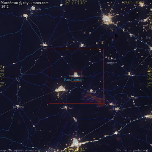
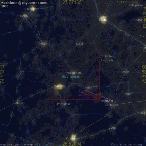
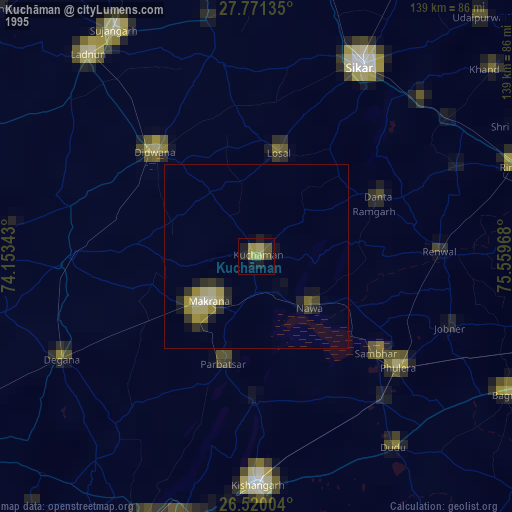
Sources (retrieved 2019-11-25):
» NASA, Earths city lights 1995
» NASA city lights 2003
» Earth at Night: Flat Maps 2012, 2016