Sāmbhar night lights from space
Night Light of Sāmbhar (Rajasthan) from space (India) Src. Average luminocity for 10x10km area is 12.9861% and for 50x50km: 2.2225%.
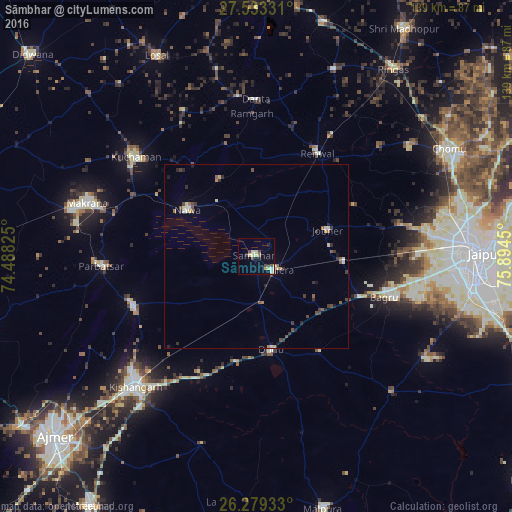
Analysis of Sāmbhar night lights 2016
Square area 10x10 km:
 0.79%
0.79%90-99
2.38%80-89
4.56%70-79
0.6%60-69
0.2%50-59
1.19%40-49
2.38%30-39
1.79%20-29
2.38%10-19
1.59%0-9
82.14%Square area 50x50 km:
0.1%90-99
0.31%80-89
0.43%70-79
0.08%60-69
0.18%50-59
0.42%40-49
0.44%30-39
0.59%20-29
0.47%10-19
0.33%0-9
96.66%Clear (daylight) street map image can be seen on geolist.org.
Map coordinates:
27° 31' 59.9" North, 74° 29' 17.7" East
26° 54' 29" North, 75° 11' 28.9" East
26° 16' 45.6" North, 75° 53' 40.2" East
Some cities around Sāmbhar sort by population:
• Kishangarh
48.7 km =30.3 mi,  223°
223°
• Kuchāman
42.5 km =26.4 mi,  308°
308°
• Rāmgarh
38.1 km =23.7 mi,  358°
358°
• Phulera
6.3 km =3.9 mi,  127°
127°
• Nāwa
22.5 km =14 mi,  303°
303°
• Naraina
13.1 km =8.1 mi,  173°
173°
• Parvatsar
42.2 km =26.2 mi,  266°
266°
• Jobner
20.7 km =12.9 mi,  69°
69°
1257539 (p: 22,828)
Sources (retrieved 2019-11-25):
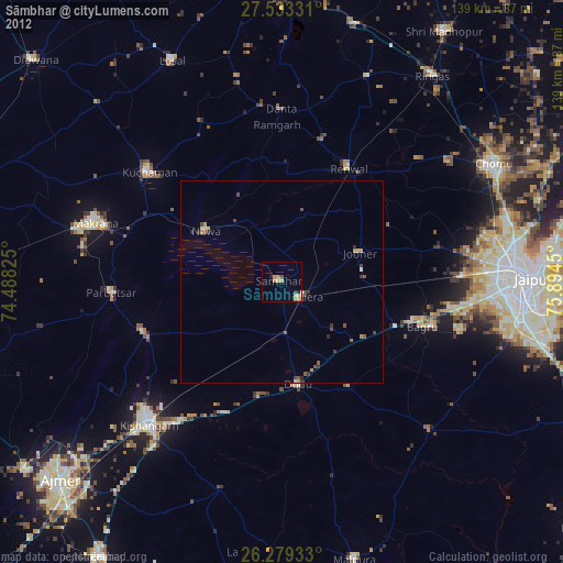
» Earth at Night: Flat Maps 2012, 2016