Rāmgarh night lights from space
Night Light of Rāmgarh (Rajasthan) from space (India) Src. Average luminocity for 10x10km area is 4.8144% and for 50x50km: 3.9024%.
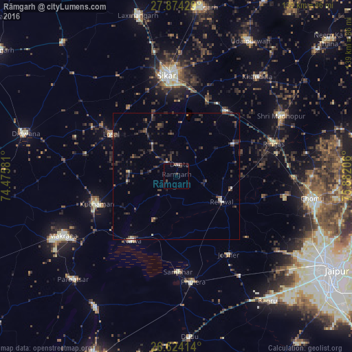
Analysis of Rāmgarh night lights 2016
Square area 10x10 km:
 0%
0%90-99
1.52%80-89
0.76%70-79
0%60-69
0%50-59
0%40-49
1.7%30-39
1.7%20-29
1.14%10-19
0.76%0-9
92.42%Square area 50x50 km:
0.09%90-99
0.3%80-89
0.18%70-79
0.17%60-69
0.17%50-59
0.65%40-49
1.36%30-39
1.37%20-29
2.14%10-19
1.85%0-9
91.71%Clear (daylight) street map image can be seen on geolist.org.
Map coordinates:
27° 52' 27.4" North, 74° 28' 32.9" East
27° 15' 3.5" North, 75° 10' 44.1" East
26° 37' 26.9" North, 75° 52' 55.4" East
Some cities around Rāmgarh sort by population:
• Sīkar
40.3 km =25 mi,  354°
354°
• Kuchāman
33.9 km =21.1 mi,  250°
250°
• Losal
30.8 km =19.1 mi,  302°
302°
• Rīngas
40.5 km =25.2 mi,  71°
71°
• Sāmbhar
38.1 km =23.7 mi,  178°
178°
• Phulera
42.4 km =26.3 mi,  171°
171°
• Nāwa
31.1 km =19.3 mi,  214°
214°
• Jobner
37.2 km =23.1 mi,  146°
146°
1258677 (p: 29,834)
Sources (retrieved 2019-11-25):
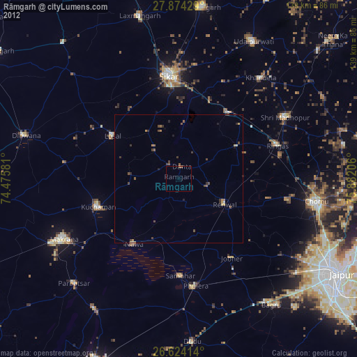
» Earth at Night: Flat Maps 2012, 2016