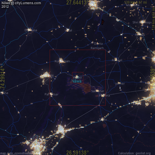
Nāwa night lights from space
Night Light of Nāwa (Rajasthan) from space (India) Src. Average luminocity for 10x10km area is 10.6171% and for 50x50km: 4.0772%.
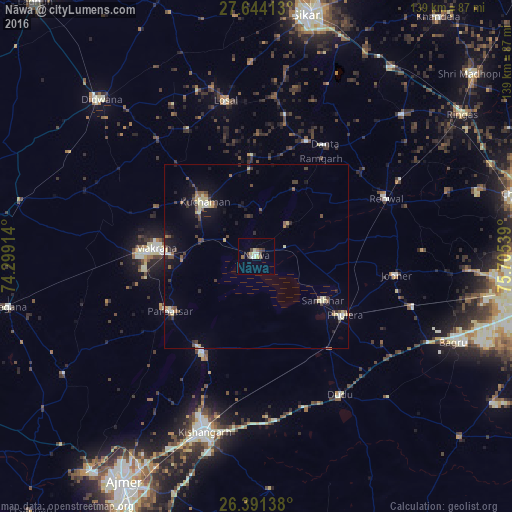
Analysis of Nāwa night lights 2016
Square area 10x10 km:
 0.4%
0.4%90-99
2.98%80-89
2.18%70-79
0%60-69
1.39%50-59
1.79%40-49
2.38%30-39
1.39%20-29
0.2%10-19
0%0-9
87.3%Square area 50x50 km:
0.14%90-99
0.53%80-89
0.86%70-79
0.2%60-69
0.35%50-59
0.67%40-49
0.84%30-39
0.62%20-29
0.74%10-19
2.51%0-9
92.55%Clear (daylight) street map image can be seen on geolist.org.
Map coordinates:
27° 38' 38.9" North, 74° 17' 56.9" East
27° 1' 10.2" North, 75° 0' 8.1" East
26° 23' 29" North, 75° 42' 19.4" East
Some cities around Nāwa sort by population:
• Makrāna
27.6 km =17.1 mi,  275°
275°
• Kuchāman
20.3 km =12.6 mi,  314°
314°
• Rāmgarh
31.1 km =19.3 mi,  34°
34°
• Sāmbhar
22.5 km =14 mi,  123°
123°
• Phulera
28.7 km =17.8 mi, 124°
• Naraina
32.5 km =20.2 mi,  141°
141°
• Parvatsar
27.7 km =17.2 mi,  237°
237°
• Jobner
38.5 km =23.9 mi,  97°
97°
1261647 (p: 20,044)
Sources (retrieved 2019-11-25):
» Earth at Night: Flat Maps 2012, 2016