Kalavoor night lights from space
Night Light of Kalavoor (Kerala) from space (India) Src. Average luminocity for 10x10km area is 6.3636% and for 50x50km: 3.382%.
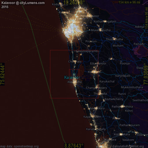
Analysis of Kalavoor night lights 2016
Square area 10x10 km:
 0%
0%90-99
0%80-89
0%70-79
0.43%60-69
0.43%50-59
1.3%40-49
0.87%30-39
2.16%20-29
4.55%10-19
5.84%0-9
84.42%Square area 50x50 km:
0.02%90-99
0.09%80-89
0.32%70-79
0.53%60-69
0.84%50-59
0.61%40-49
0.69%30-39
0.76%20-29
1.06%10-19
1.99%0-9
93.08%Clear (daylight) street map image can be seen on geolist.org.
Map coordinates:
10° 15' 47.1" North, 75° 37' 28" East
9° 34' 13.7" North, 76° 19' 39.2" East
8° 52' 35.1" North, 77° 1' 50.5" East
Some cities around Kalavoor sort by population:
• Alappuzha
8.9 km =5.5 mi,  180°
180°
• Kottayam
21.3 km =13.2 mi,  85°
85°
• Cherthala
12.7 km =7.9 mi,  3°
3°
• Shertallai
12.9 km =8 mi,  6°
6°
• Vayalār
15.7 km =9.8 mi, 4°
• Kutiatodu
25.5 km =15.8 mi, 1°
• Vaikam
21.2 km =13.2 mi,  20°
20°
• Kunnumma
25.6 km =15.9 mi,  158°
158°
10629189 (p: 29,564)
Sources (retrieved 2019-11-25):
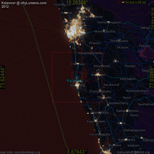
» Earth at Night: Flat Maps 2012, 2016