Alappuzha night lights from space
Night Light of Alappuzha (Kerala) from space (India) Src. Average luminocity for 10x10km area is 27.1299% and for 50x50km: 3.3989%.
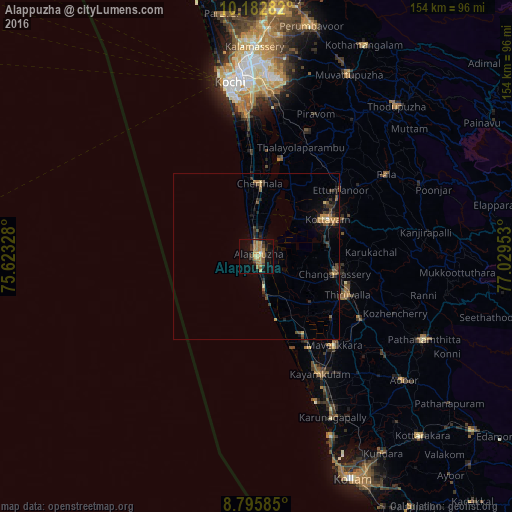
Analysis of Alappuzha night lights 2016
Square area 10x10 km:
 0.43%
0.43%90-99
0.43%80-89
4.33%70-79
7.14%60-69
9.96%50-59
4.11%40-49
3.25%30-39
2.6%20-29
4.11%10-19
20.35%0-9
43.29%Square area 50x50 km:
0.02%90-99
0.09%80-89
0.36%70-79
0.54%60-69
0.83%50-59
0.65%40-49
0.66%30-39
0.67%20-29
1.1%10-19
1.94%0-9
93.14%Clear (daylight) street map image can be seen on geolist.org.
Map coordinates:
10° 10' 58.2" North, 75° 37' 23.8" East
9° 29' 24.1" North, 76° 19' 35" East
8° 47' 45.1" North, 77° 1' 46.3" East
Some cities around Alappuzha sort by population:
• Kottayam
23.9 km =14.9 mi,  63°
63°
• Changanācheri
23.6 km =14.7 mi,  103°
103°
• Cherthala
21.6 km =13.4 mi,  2°
2°
• Shertallai
21.8 km =13.5 mi, 3°
• Kalavoor
8.9 km =5.5 mi, 0°
• Vayalār
24.7 km =15.3 mi, 3°
• Vaikam
29.8 km =18.5 mi,  14°
14°
• Kunnumma
17.6 km =10.9 mi,  147°
147°
1278985 (p: 176,783)
Sources (retrieved 2019-11-25):
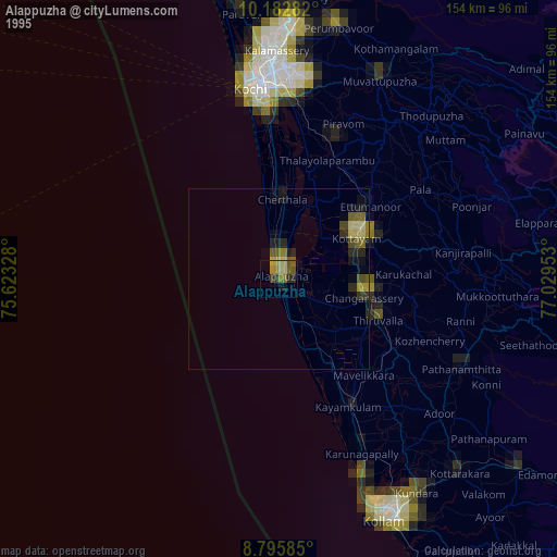
» NASA, Earths city lights 1995
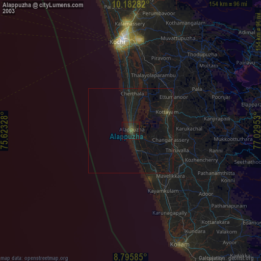
» NASA city lights 2003
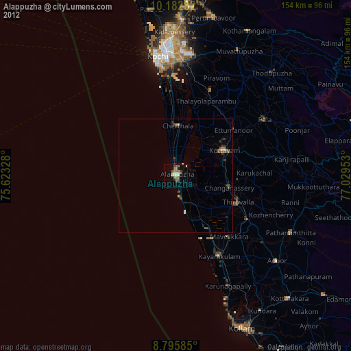
» Earth at Night: Flat Maps 2012, 2016