Neem ka Thana night lights from space
Night Light of Neem ka Thana (Rajasthan) from space (India) Src. Average luminocity for 10x10km area is 25.3353% and for 50x50km: 9.7386%.
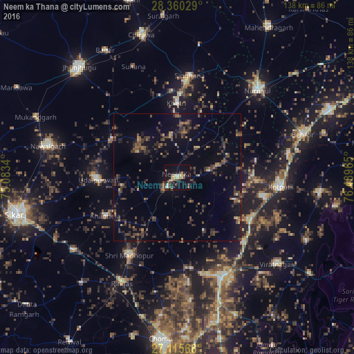
Analysis of Neem ka Thana night lights 2016
Square area 10x10 km:
 1.79%
1.79%90-99
2.38%80-89
7.54%70-79
2.38%60-69
0.99%50-59
2.18%40-49
5.95%30-39
4.56%20-29
3.57%10-19
29.37%0-9
39.29%Square area 50x50 km:
0.12%90-99
0.32%80-89
0.77%70-79
0.61%60-69
0.98%50-59
1.96%40-49
2.8%30-39
3.71%20-29
3.46%10-19
6.82%0-9
78.46%Clear (daylight) street map image can be seen on geolist.org.
Map coordinates:
28° 21' 37" North, 75° 5' 0.2" East
27° 44' 23.1" North, 75° 47' 11.5" East
27° 6' 56.4" North, 76° 29' 22.7" East
Some cities around Neem ka Thana sort by population:
• Nārnaul
46.3 km =28.8 mi,  43°
43°
• Kotputli
40.8 km =25.4 mi,  95°
95°
• Shāhpura
42.3 km =26.3 mi,  156°
156°
• Sri Mādhopur
35.7 km =22.2 mi,  211°
211°
• Udaipur
31 km =19.3 mi,  266°
266°
• Rīngas
47 km =29.2 mi, 207°
• Khandela
31.8 km =19.8 mi,  241°
241°
• Khetri
29 km =18 mi,  359°
359°
1261342 (p: 32,690)
Sources (retrieved 2019-11-25):
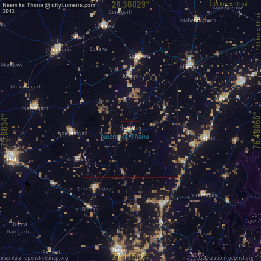
» Earth at Night: Flat Maps 2012, 2016