Manoharpur night lights from space
Night Light of Manoharpur (Rajasthan) from space (India) Src. Average luminocity for 10x10km area is 50.1629% and for 50x50km: 31.108%.
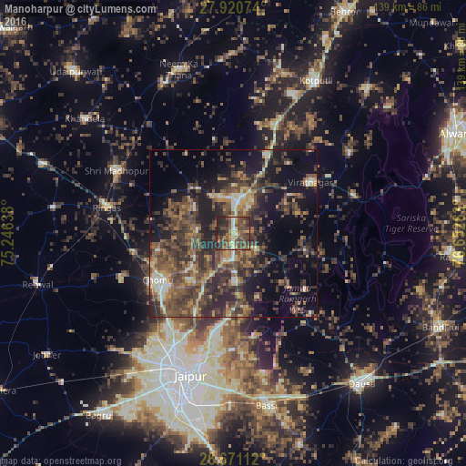
Analysis of Manoharpur night lights 2016
Square area 10x10 km:
 1.33%
1.33%90-99
4.17%80-89
6.63%70-79
6.63%60-69
7.58%50-59
15.34%40-49
25.95%30-39
13.83%20-29
17.61%10-19
0.95%0-9
0%Square area 50x50 km:
0.86%90-99
2.74%80-89
2.98%70-79
3.78%60-69
4.91%50-59
8.48%40-49
10.68%30-39
9.91%20-29
11.44%10-19
16.12%0-9
28.1%Clear (daylight) street map image can be seen on geolist.org.
Map coordinates:
27° 55' 14.7" North, 75° 14' 47" East
27° 17' 51.7" North, 75° 56' 58.2" East
26° 40' 16" North, 76° 39' 9.5" East
Some cities around Manoharpur sort by population:
• Jaipur
45 km =28 mi,  200°
200°
• Kotputli
51.3 km =31.9 mi,  28°
28°
• Shāhpura
10.4 km =6.5 mi,  5°
5°
• Neem ka Thana
51.7 km =32.1 mi,  341°
341°
• Sri Mādhopur
39.5 km =24.5 mi,  298°
298°
• Rīngas
38.4 km =23.9 mi,  281°
281°
• Khandela
55.8 km =34.7 mi,  307°
307°
• Basi
52.8 km =32.8 mi,  169°
169°
1263649 (p: 28,928)
Sources (retrieved 2019-11-25):
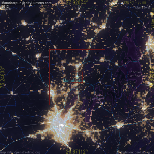
» Earth at Night: Flat Maps 2012, 2016