Alwar night lights from space
Night Light of Alwar (Rajasthan) from space (India) Src. Average luminocity for 10x10km area is 81.879% and for 50x50km: 15.6425%.
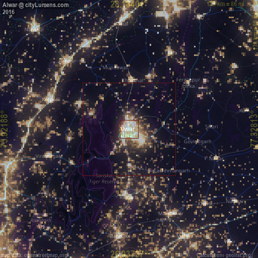
Analysis of Alwar night lights 2016
Square area 10x10 km:
 14.68%
90-99
21.03%80-89
40.48%70-79
6.15%60-69
3.97%50-59
4.37%40-49
3.57%30-39
4.17%20-29
1.59%10-19
0%0-9
0%Square area 50x50 km:
0.88%90-99
1.86%80-89
2.75%70-79
1.19%60-69
1.5%50-59
2.6%40-49
3.81%30-39
4.06%20-29
5.75%10-19
10.33%0-9
65.27%Clear (daylight) street map image can be seen on geolist.org.
Map coordinates:
28° 11' 2.4" North, 75° 55' 18.8" East
27° 33' 44.9" North, 76° 37' 30" East
26° 56' 14.5" North, 77° 19' 41.3" East
Some cities around Alwar sort by population:
• Kotputli
44.7 km =27.8 mi,  290°
290°
• Rājgarh
36.2 km =22.5 mi,  180°
180°
• Baswa
46.1 km =28.6 mi,  185°
185°
• Tijāra
47.1 km =29.3 mi,  28°
28°
• Fīrozpur Jhirka
40.3 km =25 mi,  51°
51°
• Mandāwar
34.3 km =21.3 mi,  347°
347°
• Govindgarh
37.5 km =23.3 mi,  99°
99°
• Kishangarh
30.3 km =18.8 mi,  19°
19°
1278946 (p: 283,228)
Sources (retrieved 2019-11-25):
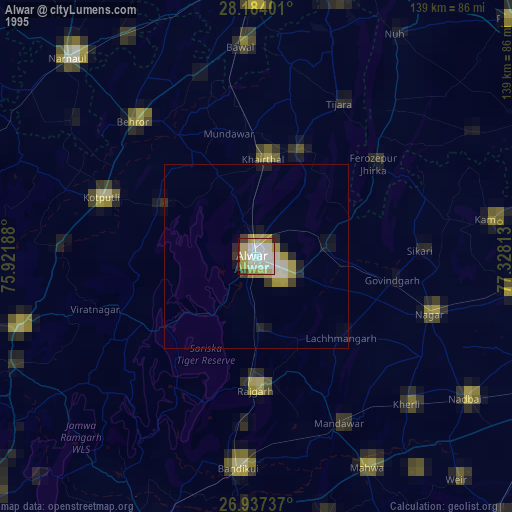
» NASA, Earths city lights 1995
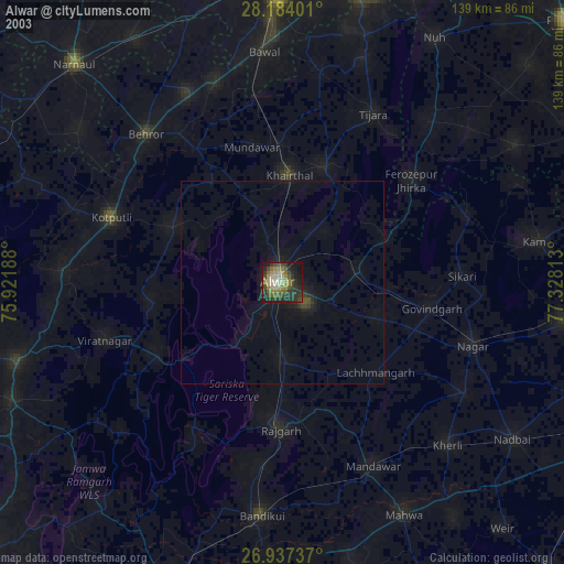
» NASA city lights 2003
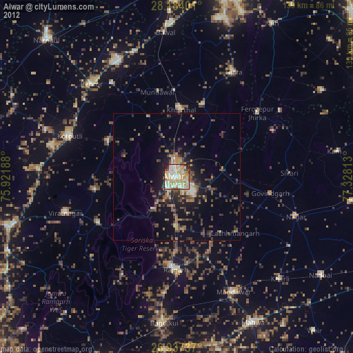
» Earth at Night: Flat Maps 2012, 2016