Lahār night lights from space
Night Light of Lahār (Madhya Pradesh) from space (India) Src. Average luminocity for 10x10km area is 17.1885% and for 50x50km: 4.3984%.
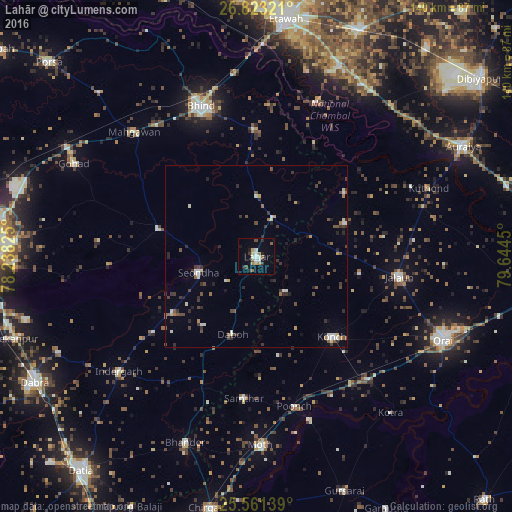
Analysis of Lahār night lights 2016
Square area 10x10 km:
 1.79%
1.79%90-99
3.77%80-89
1.59%70-79
0.99%60-69
3.57%50-59
1.59%40-49
0.99%30-39
2.38%20-29
3.17%10-19
4.17%0-9
75.99%Square area 50x50 km:
0.37%90-99
0.71%80-89
0.33%70-79
0.28%60-69
0.49%50-59
0.56%40-49
0.86%30-39
1.12%20-29
1.46%10-19
0.66%0-9
93.16%Clear (daylight) street map image can be seen on geolist.org.
Map coordinates:
26° 49' 23.6" North, 78° 14' 17.7" East
26° 11' 38.4" North, 78° 56' 28.9" East
25° 33' 41" North, 79° 38' 40.2" East
Some cities around Lahār sort by population:
• Seondha
16.6 km =10.3 mi,  254°
254°
• Mau
28.1 km =17.5 mi,  286°
286°
• Daboh
22.3 km =13.9 mi,  196°
196°
• Mihona
10.7 km =6.6 mi,  21°
21°
• Rāmpura
29.6 km =18.4 mi,  54°
54°
• Mādhogarh
26 km =16.2 mi,  69°
69°
• Alampur
23.7 km =14.7 mi,  217°
217°
• Nadīgaon
12.6 km =7.8 mi,  139°
139°
1265311 (p: 32,886)
Sources (retrieved 2019-11-25):
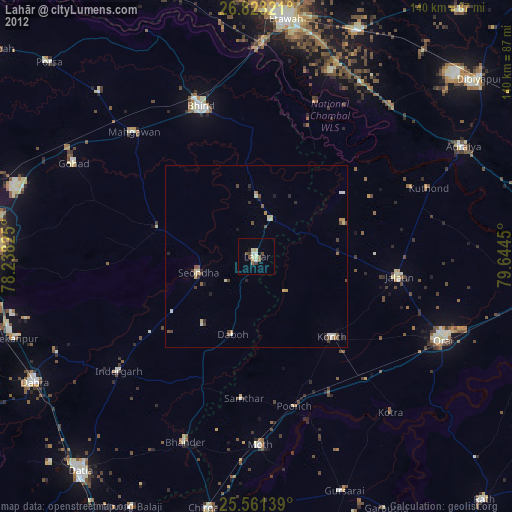
» Earth at Night: Flat Maps 2012, 2016