Anantnag night lights from space
Night Light of Anantnag (Jammu and Kashmir) from space (India) Src. Average luminocity for 10x10km area is 25.859% and for 50x50km: 4.1756%.
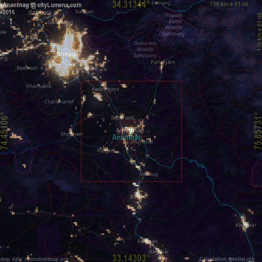
Analysis of Anantnag night lights 2016
Square area 10x10 km:
 1.47%
1.47%90-99
3.48%80-89
3.48%70-79
1.47%60-69
1.65%50-59
6.96%40-49
6.41%30-39
4.21%20-29
6.41%10-19
37.73%0-9
26.74%Square area 50x50 km:
0.18%90-99
0.3%80-89
0.42%70-79
0.3%60-69
0.5%50-59
0.83%40-49
1.04%30-39
1.12%20-29
1.19%10-19
2.44%0-9
91.69%Clear (daylight) street map image can be seen on geolist.org.
Map coordinates:
34° 18' 48.4" North, 74° 27' 3.8" East
33° 43' 50.4" North, 75° 9' 15" East
33° 8' 38.1" North, 75° 51' 26.3" East
Some cities around Anantnag sort by population:
• Bijbehara
8.3 km =5.2 mi,  328°
328°
• Pulwama
28.4 km =17.6 mi,  304°
304°
• Kulgam
15.7 km =9.8 mi,  232°
232°
• Shupīyan
29.6 km =18.4 mi,  267°
267°
• Trāl
22.1 km =13.7 mi,  350°
350°
• Pahlgām
35.2 km =21.9 mi,  25°
25°
• Awantipur
24.6 km =15.3 mi, 328°
• Qāzigund
10.3 km =6.4 mi,  185°
185°
1278667 (p: 79,821)
Sources (retrieved 2019-11-25):
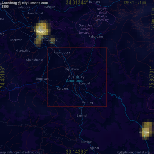
» NASA, Earths city lights 1995
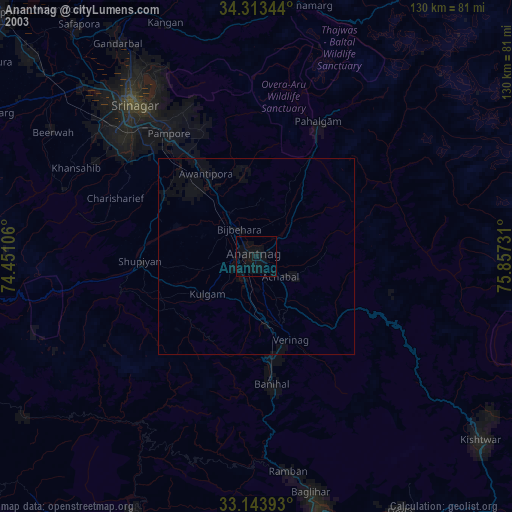
» NASA city lights 2003
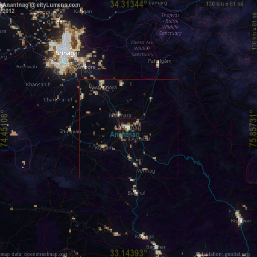
» Earth at Night: Flat Maps 2012, 2016