Khāmgaon night lights from space
Night Light of Khāmgaon (Maharashtra) from space (India) Src. Average luminocity for 10x10km area is 42.8314% and for 50x50km: 7.7753%.
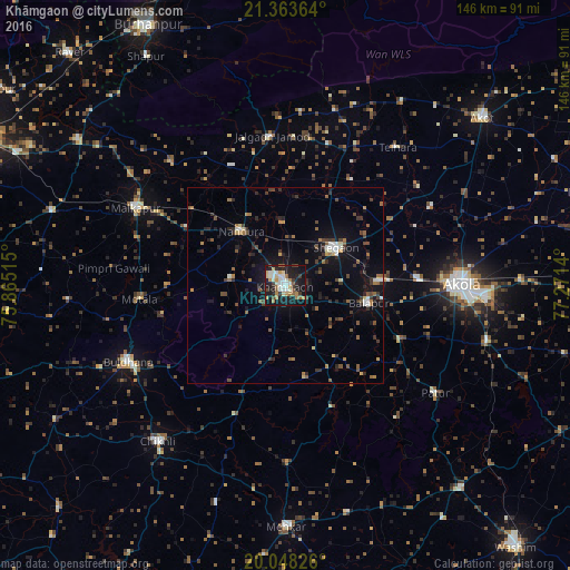
Analysis of Khāmgaon night lights 2016
Square area 10x10 km:
 6.63%
6.63%90-99
9.85%80-89
6.06%70-79
5.3%60-69
5.87%50-59
4.73%40-49
2.84%30-39
4.55%20-29
11.36%10-19
38.26%0-9
4.55%Square area 50x50 km:
0.53%90-99
0.93%80-89
0.65%70-79
0.58%60-69
1.06%50-59
1.4%40-49
1.37%30-39
1.63%20-29
2.11%10-19
6.07%0-9
83.66%Clear (daylight) street map image can be seen on geolist.org.
Map coordinates:
21° 21' 49.1" North, 75° 51' 54.5" East
20° 42' 26.6" North, 76° 34' 5.8" East
20° 2' 53.7" North, 77° 16' 17" East
Some cities around Khāmgaon sort by population:
• Akola
44.7 km =27.8 mi,  89°
89°
• Buldāna
44.6 km =27.7 mi,  243°
243°
• Malkāpur
43.2 km =26.8 mi,  297°
297°
• Shegaon
16.6 km =10.3 mi,  54°
54°
• Bālāpur
21.9 km =13.6 mi,  102°
102°
• Nāndūra Buzurg
18.1 km =11.2 mi,  321°
321°
• Jalgaon Jamod
38.5 km =23.9 mi,  354°
354°
• Telhāra
45.3 km =28.1 mi,  38°
38°
1267084 (p: 94,604)
Sources (retrieved 2019-11-25):
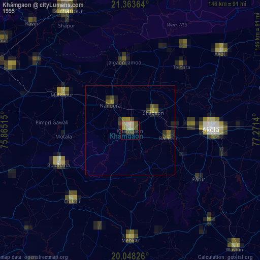
» NASA, Earths city lights 1995
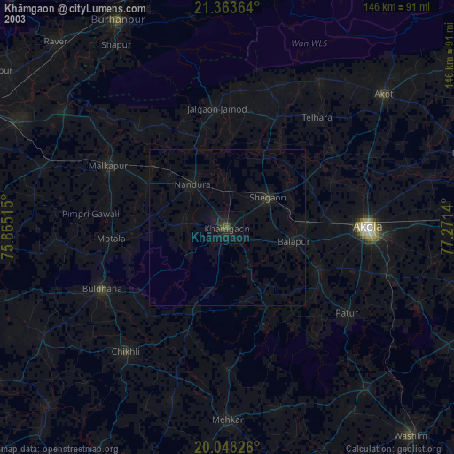
» NASA city lights 2003
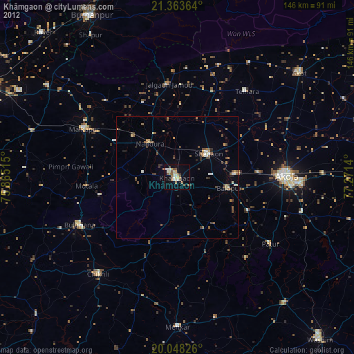
» Earth at Night: Flat Maps 2012, 2016