Jalgaon Jamod night lights from space
Night Light of Jalgaon Jamod (Maharashtra) from space (India) Src. Average luminocity for 10x10km area is 12.5853% and for 50x50km: 4.4888%.
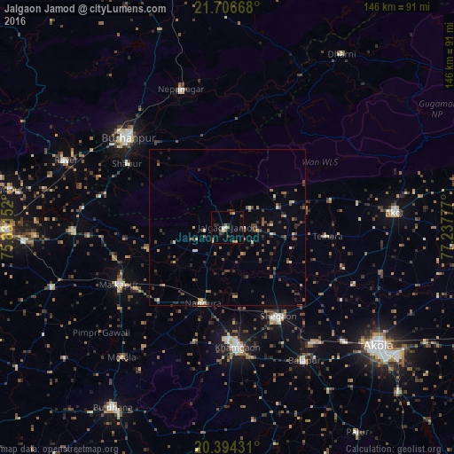
Analysis of Jalgaon Jamod night lights 2016
Square area 10x10 km:
 0%
0%90-99
1.98%80-89
1.39%70-79
0.6%60-69
3.37%50-59
0.99%40-49
2.38%30-39
2.38%20-29
3.17%10-19
2.38%0-9
81.35%Square area 50x50 km:
0.08%90-99
0.51%80-89
0.32%70-79
0.31%60-69
0.77%50-59
0.83%40-49
1.06%30-39
1%20-29
1.43%10-19
0.7%0-9
92.99%Clear (daylight) street map image can be seen on geolist.org.
Map coordinates:
21° 42' 24" North, 75° 49' 53.5" East
21° 3' 7" North, 76° 32' 4.7" East
20° 23' 39.5" North, 77° 14' 16" East
Some cities around Jalgaon Jamod sort by population:
• Burhānpur
42.6 km =26.5 mi,  312°
312°
• Khāmgaon
38.5 km =23.9 mi,  174°
174°
• Malkāpur
39.4 km =24.5 mi,  242°
242°
• Shegaon
33.5 km =20.8 mi,  149°
149°
• Nāndūra Buzurg
25.4 km =15.8 mi,  197°
197°
• Nepānagar
47 km =29.2 mi,  341°
341°
• Telhāra
31.7 km =19.7 mi,  95°
95°
• Shāhpur
38.1 km =23.7 mi,  302°
302°
1269406 (p: 27,794)
Sources (retrieved 2019-11-25):
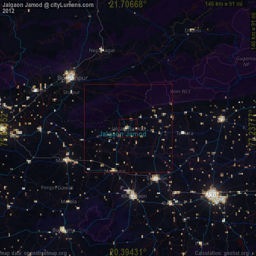
» Earth at Night: Flat Maps 2012, 2016