Malkāpur night lights from space
Night Light of Malkāpur (Maharashtra) from space (India) Src. Average luminocity for 10x10km area is 20.9226% and for 50x50km: 5.3764%.
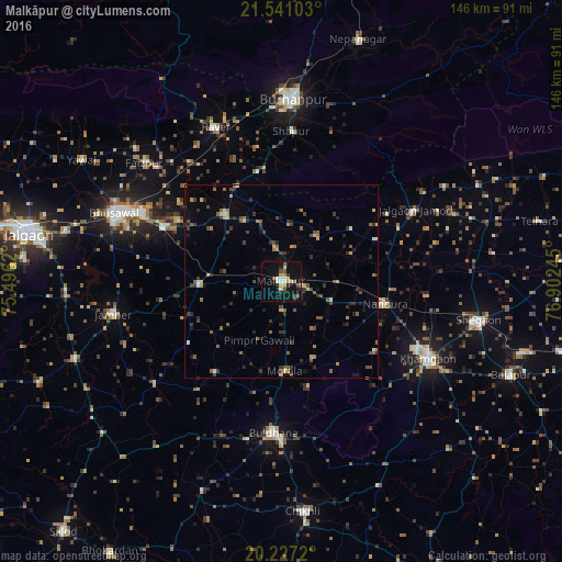
Analysis of Malkāpur night lights 2016
Square area 10x10 km:
 0.79%
0.79%90-99
2.78%80-89
5.36%70-79
2.38%60-69
1.79%50-59
2.58%40-49
3.77%30-39
0.79%20-29
3.17%10-19
23.41%0-9
53.17%Square area 50x50 km:
0.11%90-99
0.37%80-89
0.55%70-79
0.64%60-69
0.74%50-59
1.22%40-49
1.18%30-39
1.2%20-29
1.54%10-19
1.82%0-9
90.62%Clear (daylight) street map image can be seen on geolist.org.
Map coordinates:
21° 32' 27.7" North, 75° 29' 46.3" East
20° 53' 8" North, 76° 11' 57.6" East
20° 13' 37.9" North, 76° 54' 8.8" East
Some cities around Malkāpur sort by population:
• Khāmgaon
43.2 km =26.8 mi,  117°
117°
• Buldāna
39.6 km =24.6 mi,  182°
182°
• Varangaon
33.4 km =20.8 mi,  296°
296°
• Nāndūra Buzurg
27.6 km =17.1 mi,  101°
101°
• Jalgaon Jamod
39.4 km =24.5 mi,  62°
62°
• Rāver
43.7 km =27.2 mi,  337°
337°
• Sāvda
43.6 km =27.1 mi,  312°
312°
• Shāhpur
39.2 km =24.4 mi,  3°
3°
1264071 (p: 64,812)
Sources (retrieved 2019-11-25):
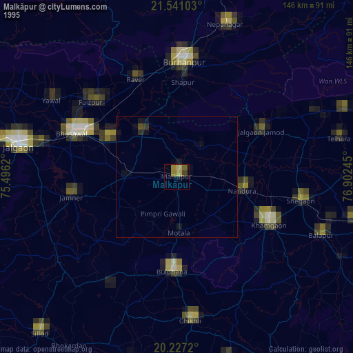
» NASA, Earths city lights 1995
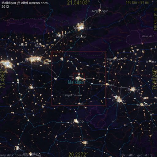
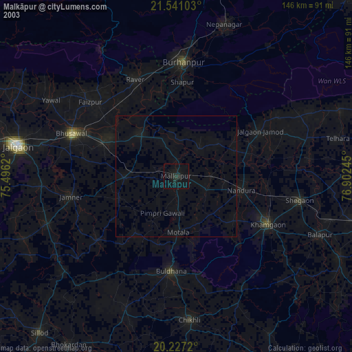
» NASA city lights 2003
» Earth at Night: Flat Maps 2012, 2016