Bālāpur night lights from space
Night Light of Bālāpur (Maharashtra) from space (India) Src. Average luminocity for 10x10km area is 17.3125% and for 50x50km: 10.4871%.
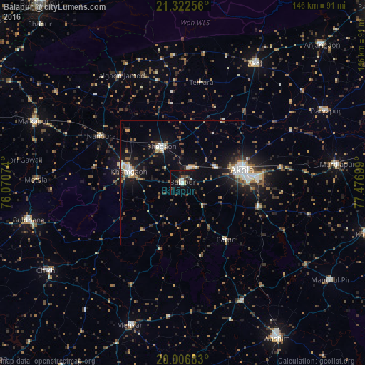
Analysis of Bālāpur night lights 2016
Square area 10x10 km:
 1.7%
1.7%90-99
2.84%80-89
0.76%70-79
0%60-69
2.27%50-59
3.03%40-49
1.14%30-39
5.68%20-29
4.55%10-19
18.94%0-9
59.09%Square area 50x50 km:
1.13%90-99
1.57%80-89
0.8%70-79
0.74%60-69
1.27%50-59
1.91%40-49
1.59%30-39
2.2%20-29
2.57%10-19
7.46%0-9
78.75%Clear (daylight) street map image can be seen on geolist.org.
Map coordinates:
21° 19' 21.2" North, 76° 4' 14.7" East
20° 39' 58" North, 76° 46' 25.9" East
20° 0' 24.6" North, 77° 28' 37.2" East
Some cities around Bālāpur sort by population:
• Akola
23.8 km =14.8 mi,  78°
78°
• Khāmgaon
21.9 km =13.6 mi,  282°
282°
• Akot
56.3 km =35 mi,  31°
31°
• Shegaon
16.1 km =10 mi,  331°
331°
• Nāndūra Buzurg
37.7 km =23.4 mi,  299°
299°
• Jalgaon Jamod
49.6 km =30.8 mi, 329°
• Pātūr
28.5 km =17.7 mi,  143°
143°
• Telhāra
40.7 km =25.3 mi,  9°
9°
1277636 (p: 42,401)
Sources (retrieved 2019-11-25):
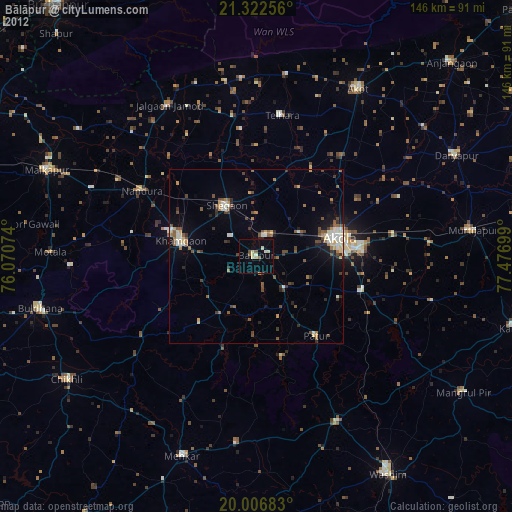
» Earth at Night: Flat Maps 2012, 2016