Nāndūra Buzurg night lights from space
Night Light of Nāndūra Buzurg (Maharashtra) from space (India) Src. Average luminocity for 10x10km area is 11.5575% and for 50x50km: 8.3744%.
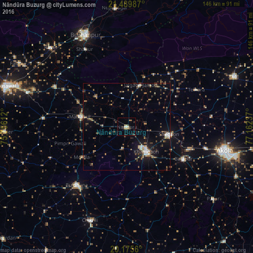
Analysis of Nāndūra Buzurg night lights 2016
Square area 10x10 km:
 0.4%
0.4%90-99
1.19%80-89
2.38%70-79
0.79%60-69
3.17%50-59
0%40-49
1.59%30-39
0.4%20-29
6.55%10-19
0.6%0-9
82.94%Square area 50x50 km:
0.39%90-99
0.97%80-89
0.78%70-79
0.87%60-69
1.16%50-59
1.41%40-49
1.64%30-39
1.6%20-29
2.39%10-19
5.43%0-9
83.35%Clear (daylight) street map image can be seen on geolist.org.
Map coordinates:
21° 29' 23.5" North, 75° 45' 22" East
20° 50' 3" North, 76° 27' 33.3" East
20° 10' 32.2" North, 77° 9' 44.5" East
Some cities around Nāndūra Buzurg sort by population:
• Khāmgaon
18.1 km =11.2 mi,  141°
141°
• Buldāna
44.3 km =27.5 mi,  220°
220°
• Malkāpur
27.6 km =17.1 mi,  281°
281°
• Shegaon
25.4 km =15.8 mi,  100°
100°
• Bālāpur
37.7 km =23.4 mi,  119°
119°
• Jalgaon Jamod
25.4 km =15.8 mi,  17°
17°
• Telhāra
44.9 km =27.9 mi,  61°
61°
• Shāhpur
51 km =31.7 mi,  331°
331°
1261932 (p: 39,650)
Sources (retrieved 2019-11-25):
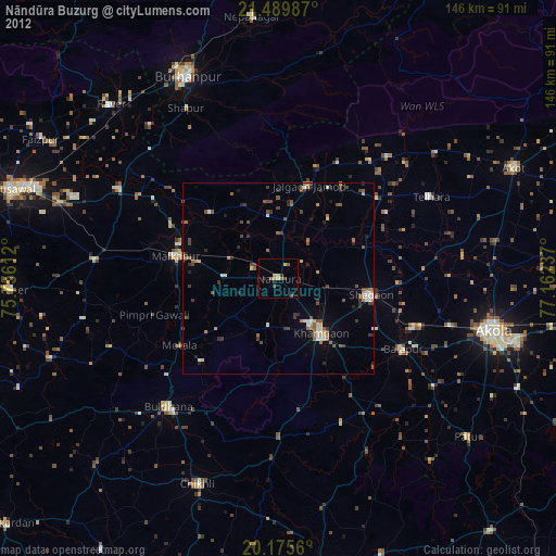
» Earth at Night: Flat Maps 2012, 2016