Akola night lights from space
Night Light of Akola (Maharashtra) from space (India) Src. Average luminocity for 10x10km area is 68.4299% and for 50x50km: 10.6681%.
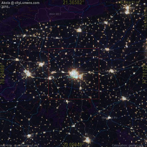
Analysis of Akola night lights 2016
Square area 10x10 km:
 18.75%
90-99
23.67%80-89
5.49%70-79
5.11%60-69
7.01%50-59
7.01%40-49
7.01%30-39
8.14%20-29
12.88%10-19
4.92%0-9
0%Square area 50x50 km:
1.15%90-99
1.6%80-89
0.76%70-79
0.68%60-69
1.39%50-59
2.1%40-49
1.63%30-39
2.5%20-29
3.22%10-19
6.54%0-9
78.44%Clear (daylight) street map image can be seen on geolist.org.
Map coordinates:
21° 21' 57" North, 76° 17' 41.9" East
20° 42' 34.5" North, 76° 59' 53.2" East
20° 3' 1.7" North, 77° 42' 4.4" East
Some cities around Akola sort by population:
• Khāmgaon
44.7 km =27.8 mi,  269°
269°
• Akot
43.5 km =27 mi,  8°
8°
• Shegaon
32.4 km =20.1 mi,  286°
286°
• Bālāpur
23.8 km =14.8 mi,  258°
258°
• Murtajāpur
38.4 km =23.9 mi,  86°
86°
• Daryāpur
41.7 km =25.9 mi,  54°
54°
• Pātūr
28.4 km =17.6 mi,  192°
192°
• Telhāra
39 km =24.2 mi,  334°
334°
1279105 (p: 428,857)
Sources (retrieved 2019-11-25):
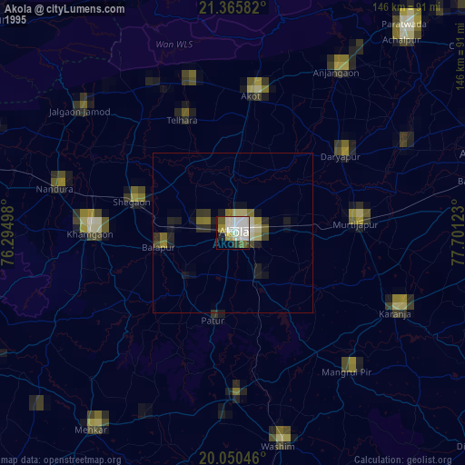
» NASA, Earths city lights 1995
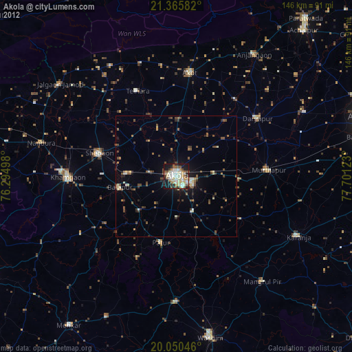
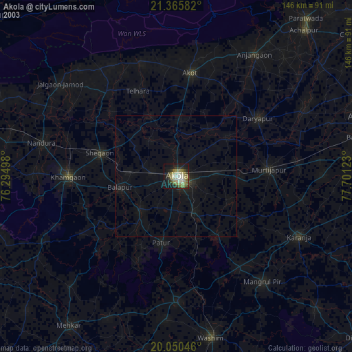
» NASA city lights 2003
» Earth at Night: Flat Maps 2012, 2016