Shegaon night lights from space
Night Light of Shegaon (Maharashtra) from space (India) Src. Average luminocity for 10x10km area is 25.3314% and for 50x50km: 9.1695%.
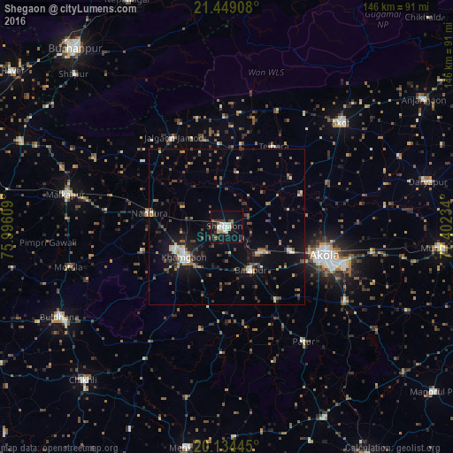
Analysis of Shegaon night lights 2016
Square area 10x10 km:
 2.46%
2.46%90-99
6.06%80-89
2.84%70-79
1.52%60-69
3.22%50-59
2.08%40-49
2.46%30-39
6.63%20-29
1.33%10-19
31.25%0-9
40.15%Square area 50x50 km:
0.57%90-99
1.19%80-89
0.62%70-79
0.68%60-69
1.28%50-59
1.68%40-49
1.52%30-39
1.99%20-29
2.05%10-19
7.11%0-9
81.32%Clear (daylight) street map image can be seen on geolist.org.
Map coordinates:
21° 26' 56.7" North, 75° 59' 45.9" East
20° 47' 35.5" North, 76° 41' 57.2" East
20° 8' 4" North, 77° 24' 8.4" East
Some cities around Shegaon sort by population:
• Akola
32.4 km =20.1 mi,  106°
106°
• Khāmgaon
16.6 km =10.3 mi,  234°
234°
• Akot
50.3 km =31.3 mi,  47°
47°
• Bālāpur
16.1 km =10 mi,  151°
151°
• Nāndūra Buzurg
25.4 km =15.8 mi,  280°
280°
• Jalgaon Jamod
33.5 km =20.8 mi,  329°
329°
• Pātūr
44.5 km =27.7 mi, 146°
• Telhāra
29.8 km =18.5 mi,  29°
29°
1256620 (p: 56,449)
Sources (retrieved 2019-11-25):
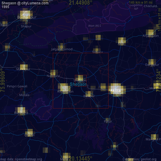
» NASA, Earths city lights 1995
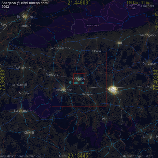
» NASA city lights 2003
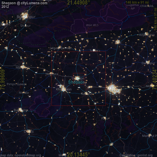
» Earth at Night: Flat Maps 2012, 2016