Khajuraho Group of Monuments night lights from space
Night Light of Khajuraho Group of Monuments (Madhya Pradesh) from space (India) Src. Average luminocity for 10x10km area is 29.0587% and for 50x50km: 8.6602%.
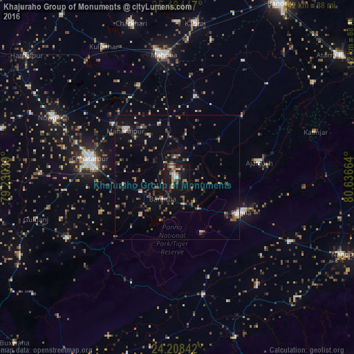
Analysis of Khajuraho Group of Monuments night lights 2016
Square area 10x10 km:
 3.03%
3.03%90-99
4.55%80-89
3.03%70-79
5.11%60-69
0.95%50-59
5.68%40-49
3.22%30-39
3.6%20-29
7.95%10-19
41.86%0-9
21.02%Square area 50x50 km:
0.54%90-99
0.9%80-89
0.6%70-79
0.73%60-69
0.97%50-59
1.7%40-49
1.64%30-39
2.05%20-29
2.05%10-19
6.03%0-9
82.79%Clear (daylight) street map image can be seen on geolist.org.
Map coordinates:
25° 29' 4.1" North, 79° 13' 49.4" East
24° 50' 53.1" North, 79° 56' 0.6" East
24° 12' 30.3" North, 80° 38' 11.9" East
Some cities around Khajuraho Group of Monuments sort by population:
• Chhatarpur
35.6 km =22.1 mi,  282°
282°
• Mahobā
49.5 km =30.8 mi,  353°
353°
• Panna
29.3 km =18.2 mi,  118°
118°
• Bijāwar
51.3 km =31.9 mi,  240°
240°
• Ajaigarh
33.3 km =20.7 mi,  80°
80°
• Rājnagar
5.1 km =3.2 mi,  334°
334°
• Amānganj
48 km =29.8 mi,  167°
167°
• Chandla
36.1 km =22.4 mi,  46°
46°
1267154 (p: 25,662)
Sources (retrieved 2019-11-25):
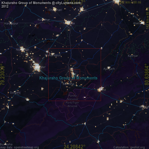
» Earth at Night: Flat Maps 2012, 2016