Chhatarpur night lights from space
Night Light of Chhatarpur (Madhya Pradesh) from space (India) Src. Average luminocity for 10x10km area is 62.8712% and for 50x50km: 14.611%.
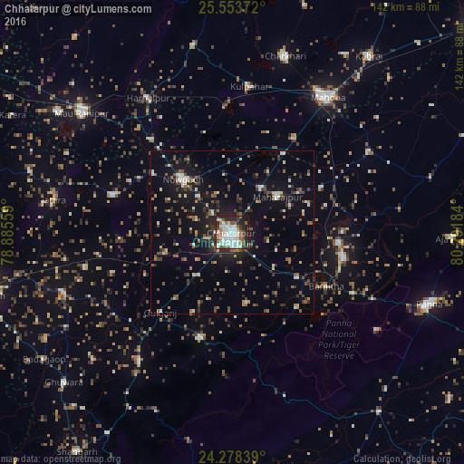
Analysis of Chhatarpur night lights 2016
Square area 10x10 km:
 16.67%
90-99
22.73%80-89
3.79%70-79
2.08%60-69
5.68%50-59
9.09%40-49
6.44%30-39
7.2%20-29
20.08%10-19
5.87%0-9
0.38%Square area 50x50 km:
1.33%90-99
2.26%80-89
0.99%70-79
0.85%60-69
1.64%50-59
2.41%40-49
2.65%30-39
2.82%20-29
4.04%10-19
11.78%0-9
69.22%Clear (daylight) street map image can be seen on geolist.org.
Map coordinates:
25° 33' 13.4" North, 78° 53' 8.1" East
24° 55' 3.7" North, 79° 35' 19.4" East
24° 16' 42.2" North, 80° 17' 30.6" East
Some cities around Chhatarpur sort by population:
• Mahobā
50.5 km =31.4 mi,  34°
34°
• Khajuraho Group of Monuments
35.6 km =22.1 mi,  102°
102°
• Bijāwar
34.2 km =21.3 mi,  196°
196°
• Kulpahār
45 km =28 mi,  6°
6°
• Harpālpur
48.5 km =30.1 mi,  327°
327°
• Palera
38.1 km =23.7 mi,  287°
287°
• Khargāpur
46.1 km =28.6 mi,  256°
256°
• Rājnagar
32.7 km =20.3 mi, 95°
1274337 (p: 111,594)
Sources (retrieved 2019-11-25):
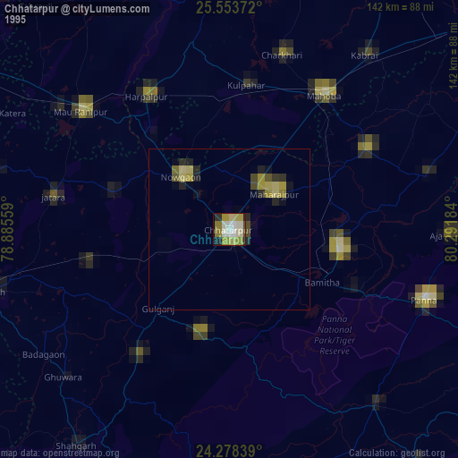
» NASA, Earths city lights 1995
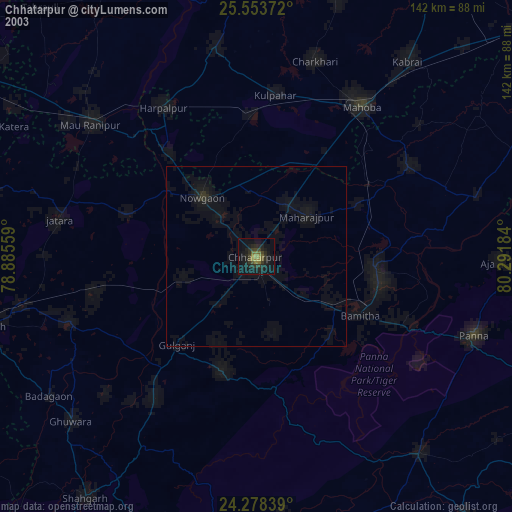
» NASA city lights 2003
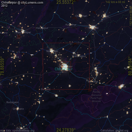
» Earth at Night: Flat Maps 2012, 2016