Karnāl night lights from space
Night Light of Karnāl (Haryana) from space (India) Src. Average luminocity for 10x10km area is 86.2063% and for 50x50km: 27.5405%.
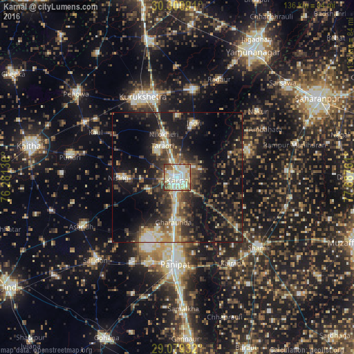
Analysis of Karnāl night lights 2016
Square area 10x10 km:
 20.24%
90-99
36.51%80-89
21.23%70-79
2.98%60-69
8.53%50-59
7.34%40-49
2.78%30-39
0.4%20-29
0%10-19
0%0-9
0%Square area 50x50 km:
2.13%90-99
4.67%80-89
3.23%70-79
2.45%60-69
2.9%50-59
4.9%40-49
6.39%30-39
7.15%20-29
9.44%10-19
21.72%0-9
35.01%Clear (daylight) street map image can be seen on geolist.org.
Map coordinates:
30° 18' 3.3" North, 76° 16' 52.9" East
29° 41' 31.1" North, 76° 59' 4.1" East
29° 4' 45.6" North, 77° 41' 15.4" East
Some cities around Karnāl sort by population:
• Pānīpat
33.9 km =21.1 mi,  182°
182°
• Gangoh
28.7 km =17.8 mi,  70°
70°
• Gharaunda
17.3 km =10.7 mi, 184°
• Jhinjhāna
30 km =18.6 mi,  129°
129°
• Nīlokheri
16.9 km =10.5 mi,  342°
342°
• Indri
22.1 km =13.7 mi,  19°
19°
• Ūn
28.8 km =17.9 mi,  114°
114°
• Titron
32.9 km =20.4 mi,  94°
94°
1267708 (p: 225,049)
Sources (retrieved 2019-11-25):
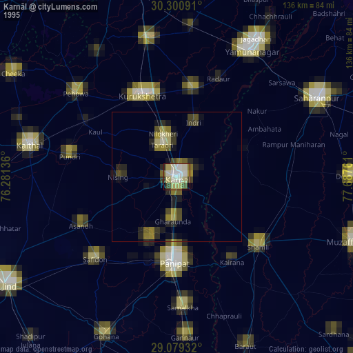
» NASA, Earths city lights 1995
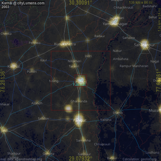
» NASA city lights 2003
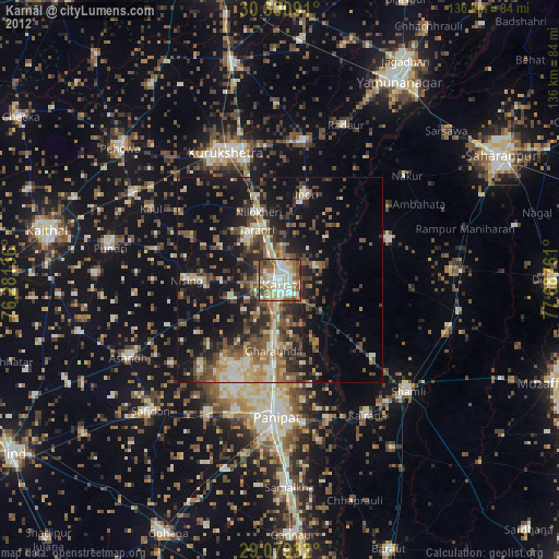
» Earth at Night: Flat Maps 2012, 2016