Gangoh night lights from space
Night Light of Gangoh (Uttar Pradesh) from space (India) Src. Average luminocity for 10x10km area is 42.9345% and for 50x50km: 25.3126%.
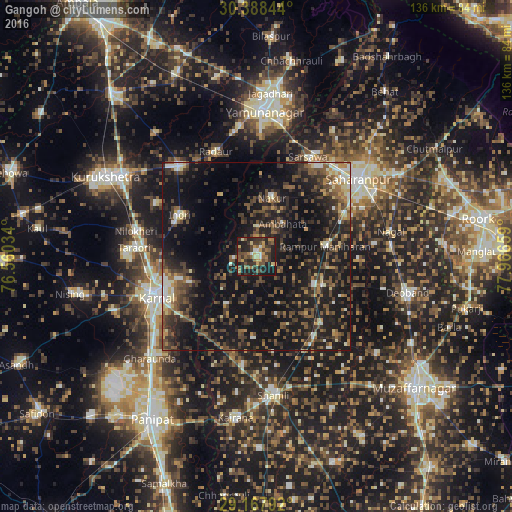
Analysis of Gangoh night lights 2016
Square area 10x10 km:
 1.59%
1.59%90-99
4.56%80-89
4.76%70-79
8.13%60-69
5.75%50-59
11.11%40-49
10.52%30-39
16.07%20-29
15.67%10-19
21.83%0-9
0%Square area 50x50 km:
1.2%90-99
2.69%80-89
2.1%70-79
2.21%60-69
2.67%50-59
5.26%40-49
7.54%30-39
6.51%20-29
10.55%10-19
29.79%0-9
29.48%Clear (daylight) street map image can be seen on geolist.org.
Map coordinates:
30° 23' 18.4" North, 76° 33' 37.2" East
29° 46' 48.1" North, 77° 15' 48.5" East
29° 10' 4.5" North, 77° 57' 59.7" East
Some cities around Gangoh sort by population:
• Rāmpur
18.5 km =11.5 mi,  80°
80°
• Jalālābad
24.7 km =15.3 mi,  136°
136°
• Nakūr
16 km =9.9 mi,  14°
14°
• Nanauta
16.7 km =10.4 mi,  116°
116°
• Indri
22.6 km =14 mi,  299°
299°
• Ūn
21.7 km =13.5 mi,  182°
182°
• Ambahta
11 km =6.8 mi,  39°
39°
• Titron
13.7 km =8.5 mi,  154°
154°
1271644 (p: 59,519)
Sources (retrieved 2019-11-25):
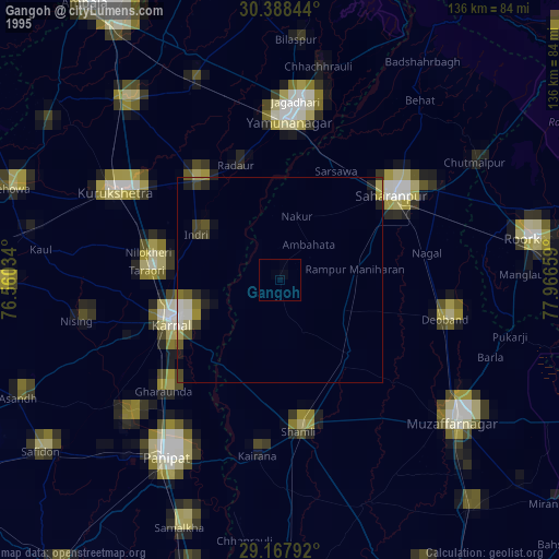
» NASA, Earths city lights 1995
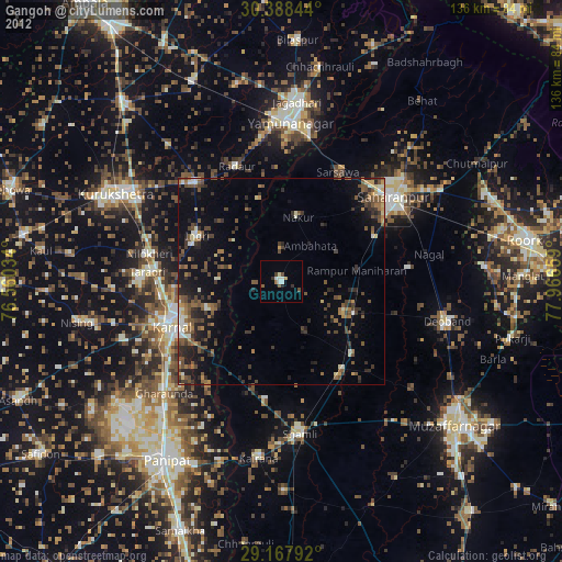
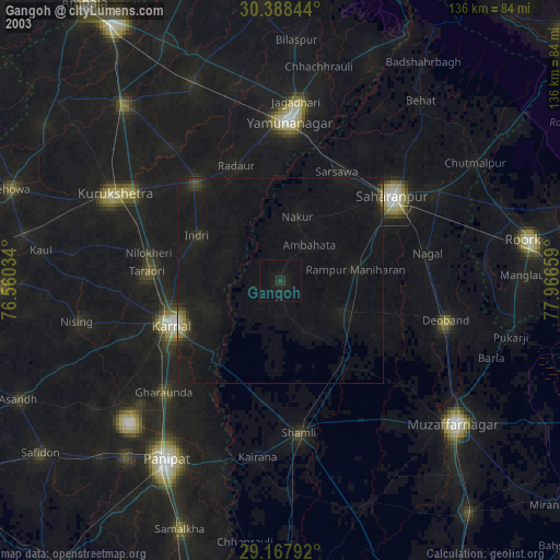
» NASA city lights 2003
» Earth at Night: Flat Maps 2012, 2016